production

Harptree

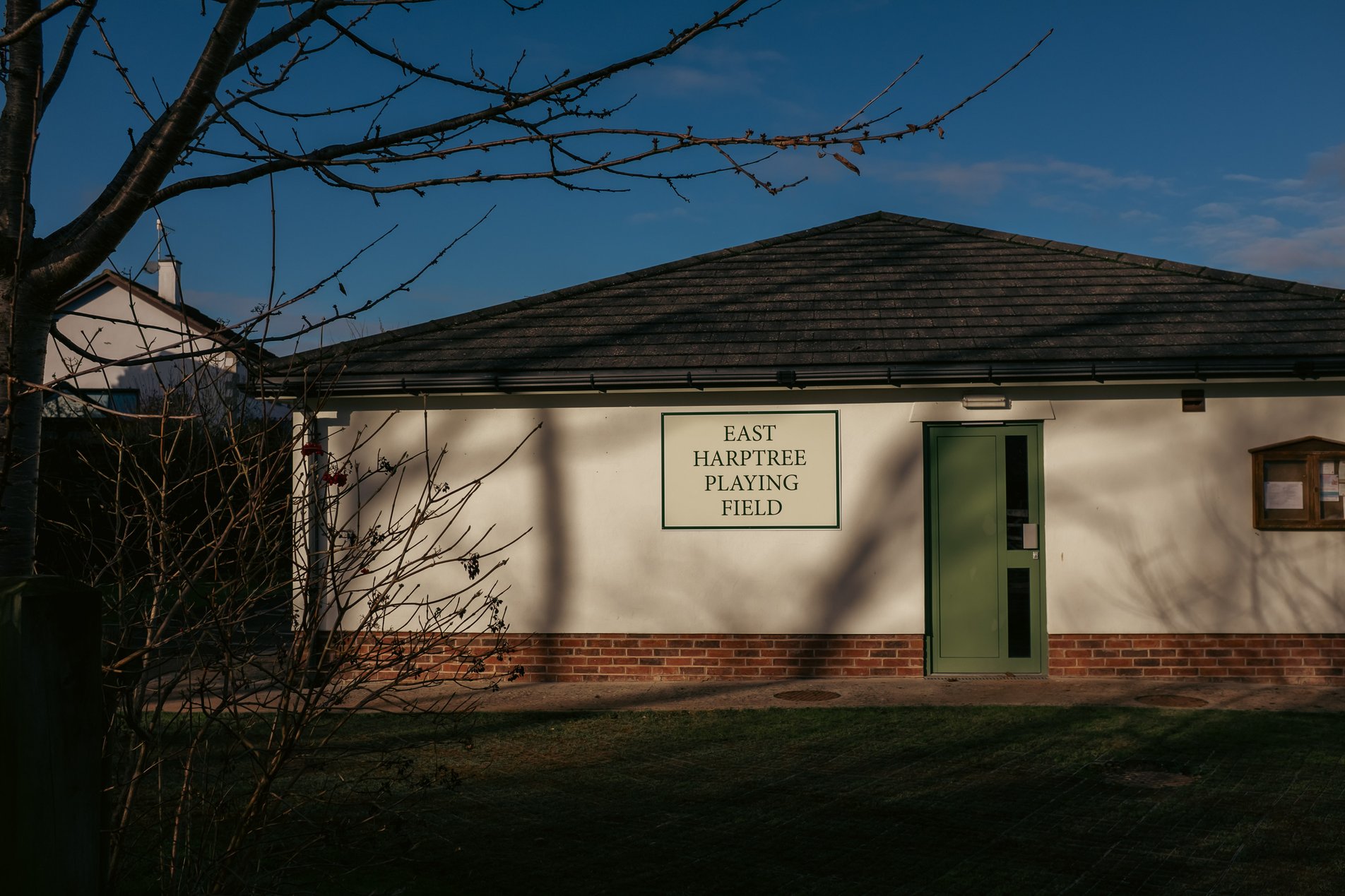
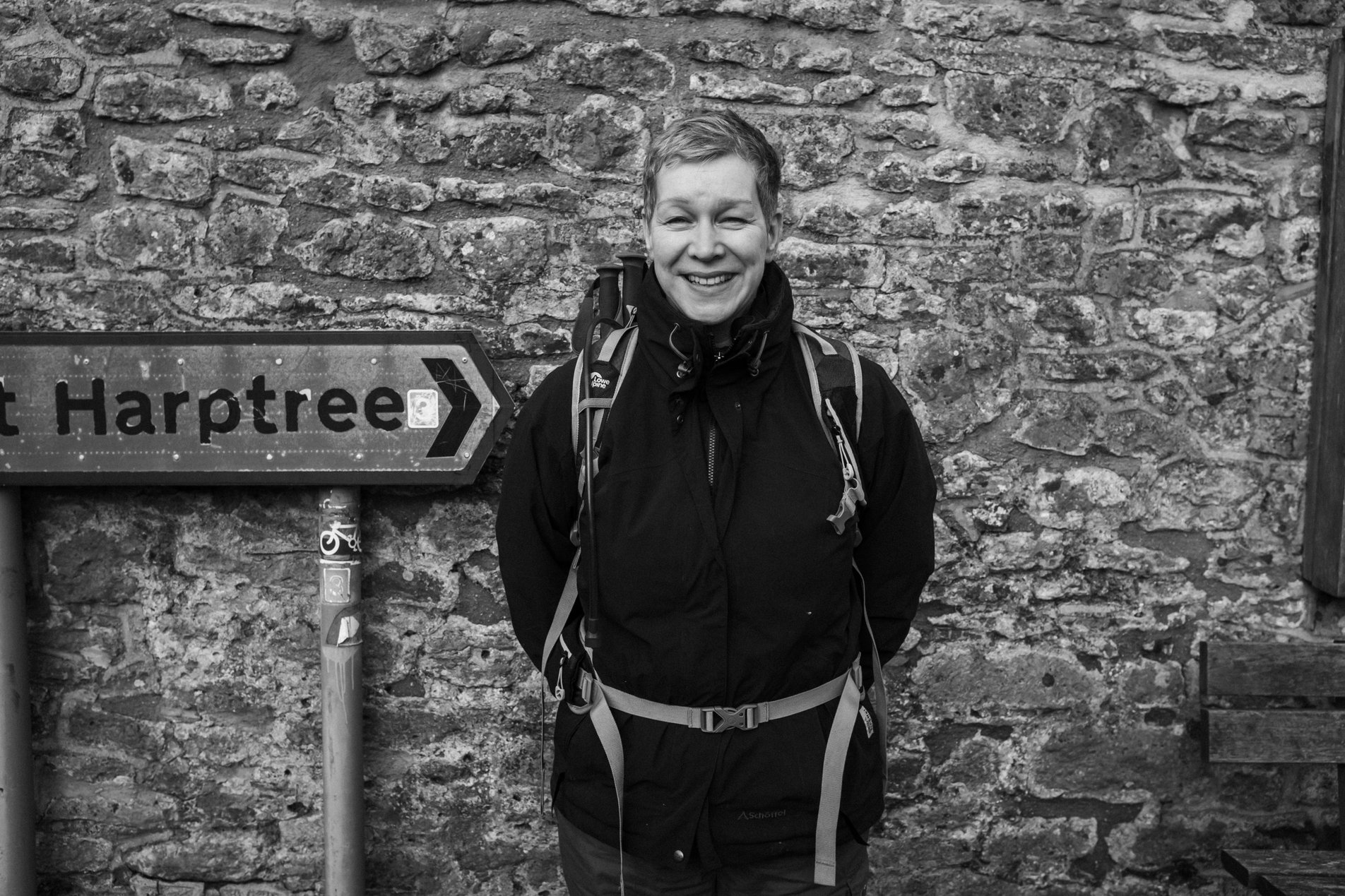
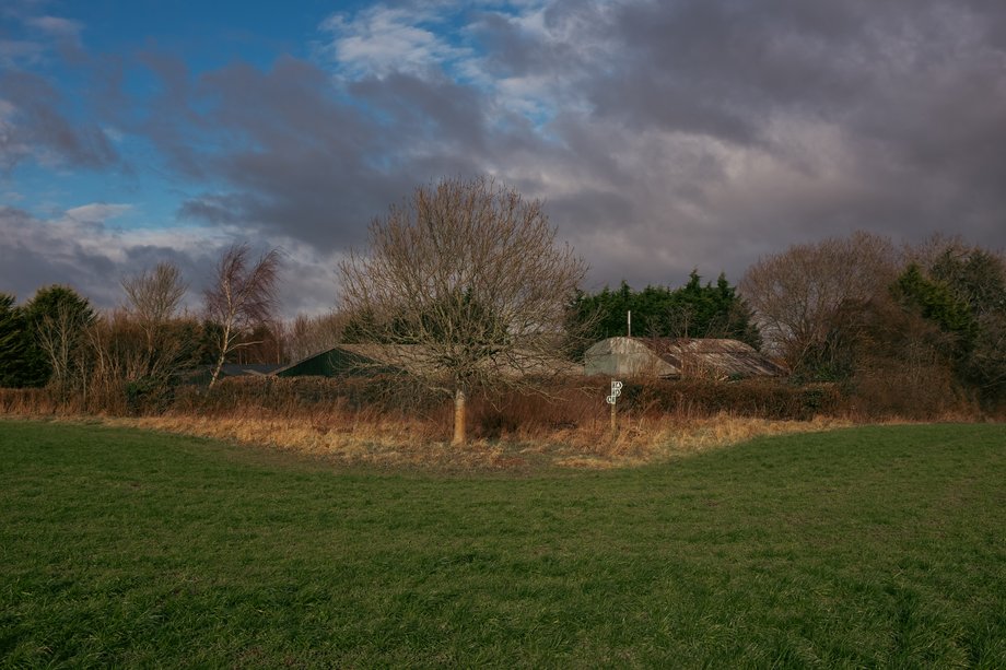
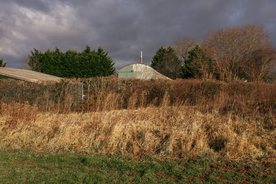
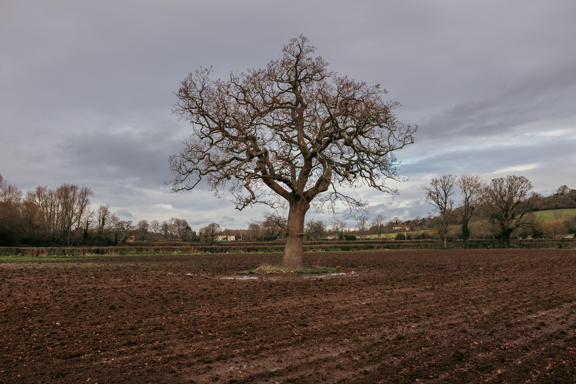
Harptree, Bath and North East Somerset, England

9.29KM

/

5.8MILES

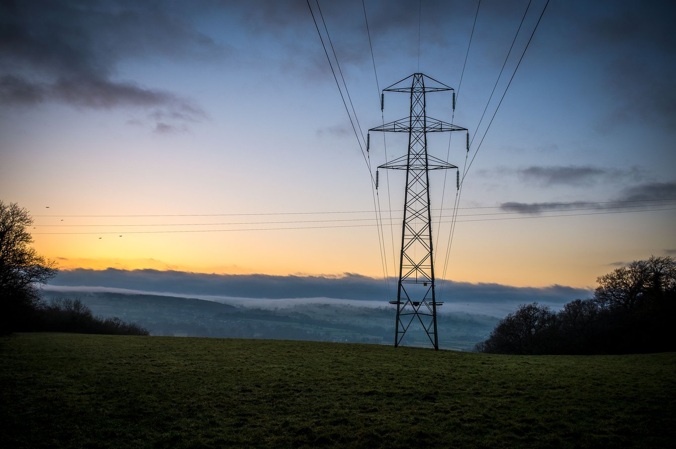
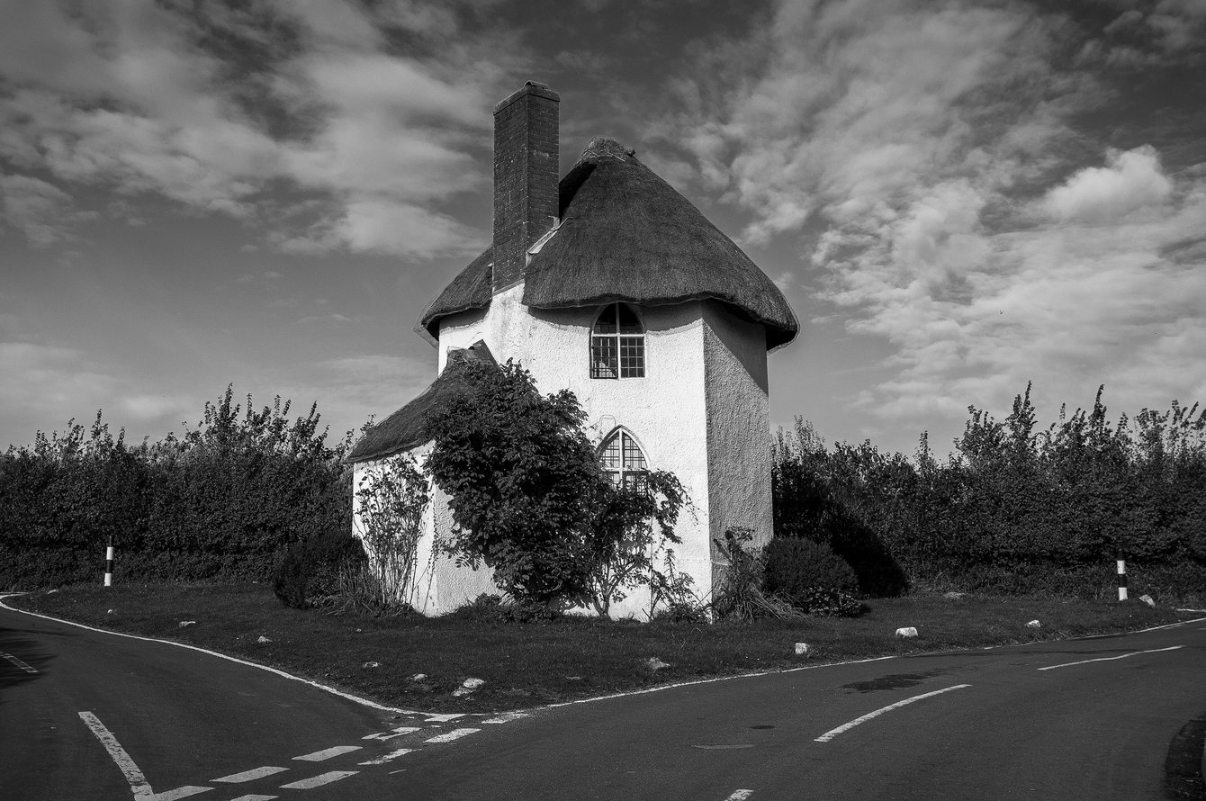
A January wander around East Harptree, West Harptree, North Widcombe and South Widcombe. All points of the compass are covered by this Somerset loop!

14 Jan 2017
Some Hills
2hrs, 50min (2hrs, 8min)
altitude Graph for harptree walk

Elevation: Max 143m, Min 56m, Gain 87m

Pictures from the walk

pavillion building with sign reading 'east harptree playing field'

East Harptree Playing Field

new build housing

East Harptree new build

woman grinning standing next to stone wall and road sign

G in East Harptree

books stacked in a red telephone box

Telephone box micro library

old house on a slope

East Harptree

field with footpath markers on post

Approaching West Harptree

field with barn

Layers

tree growing around metal fence

Tree vs Fence

tree in ploughed field

North Widcombe

Some walks nearby

Pylon at sunset
Hinton Blewett

A short December loop around Hinton Blewett, Coley and South Widcombe.

cornfield footpath with buildings in distance
Litton

This 12k circular walk from Litton takes in the stunning Hollow Marsh Meadow Nature Reserve. We visited in mid summer and the wild flower meadows looked amazing and were buzzing with insect …

Small white thatched cottage on road island
Stanton Drew 2016

A walk around North Wick and Stanton Drew from Chew Magna in the Mendip Hills. The route takes in the Stanton Drew Stone Circles and The Round House.