production

Ladybower Reservoir

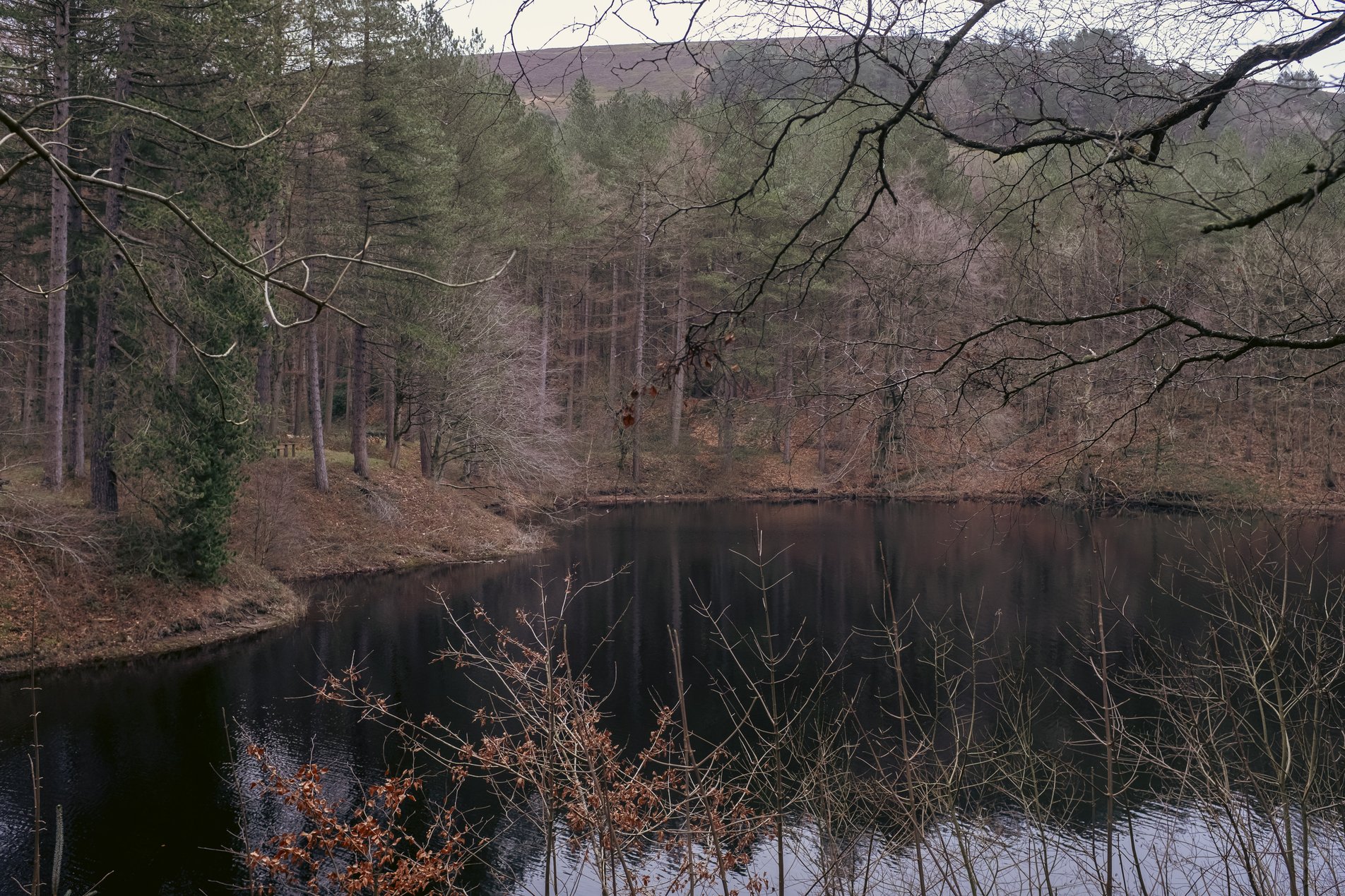
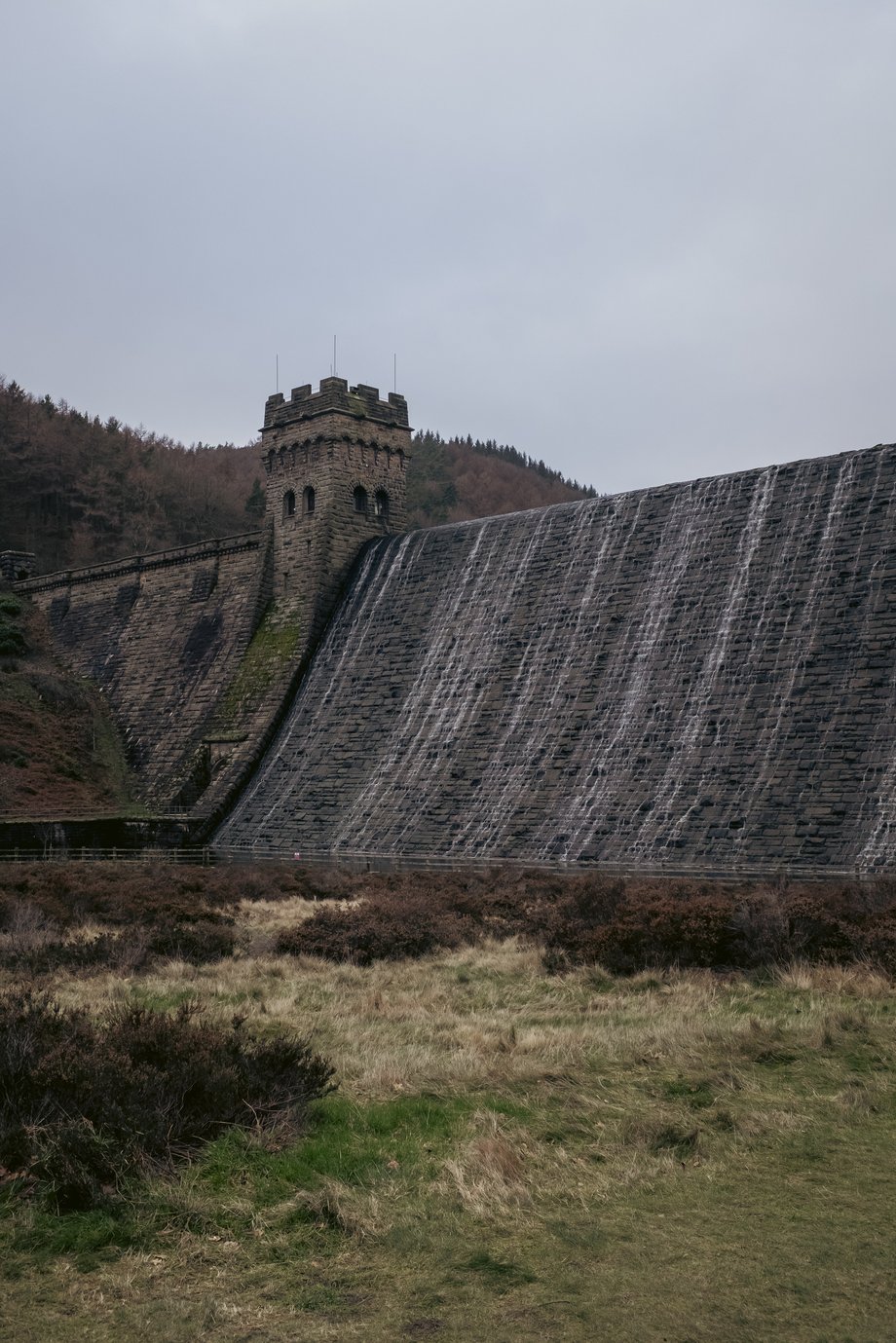
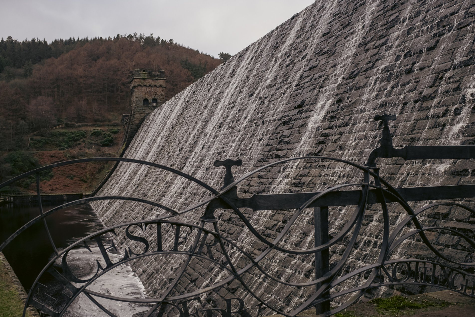
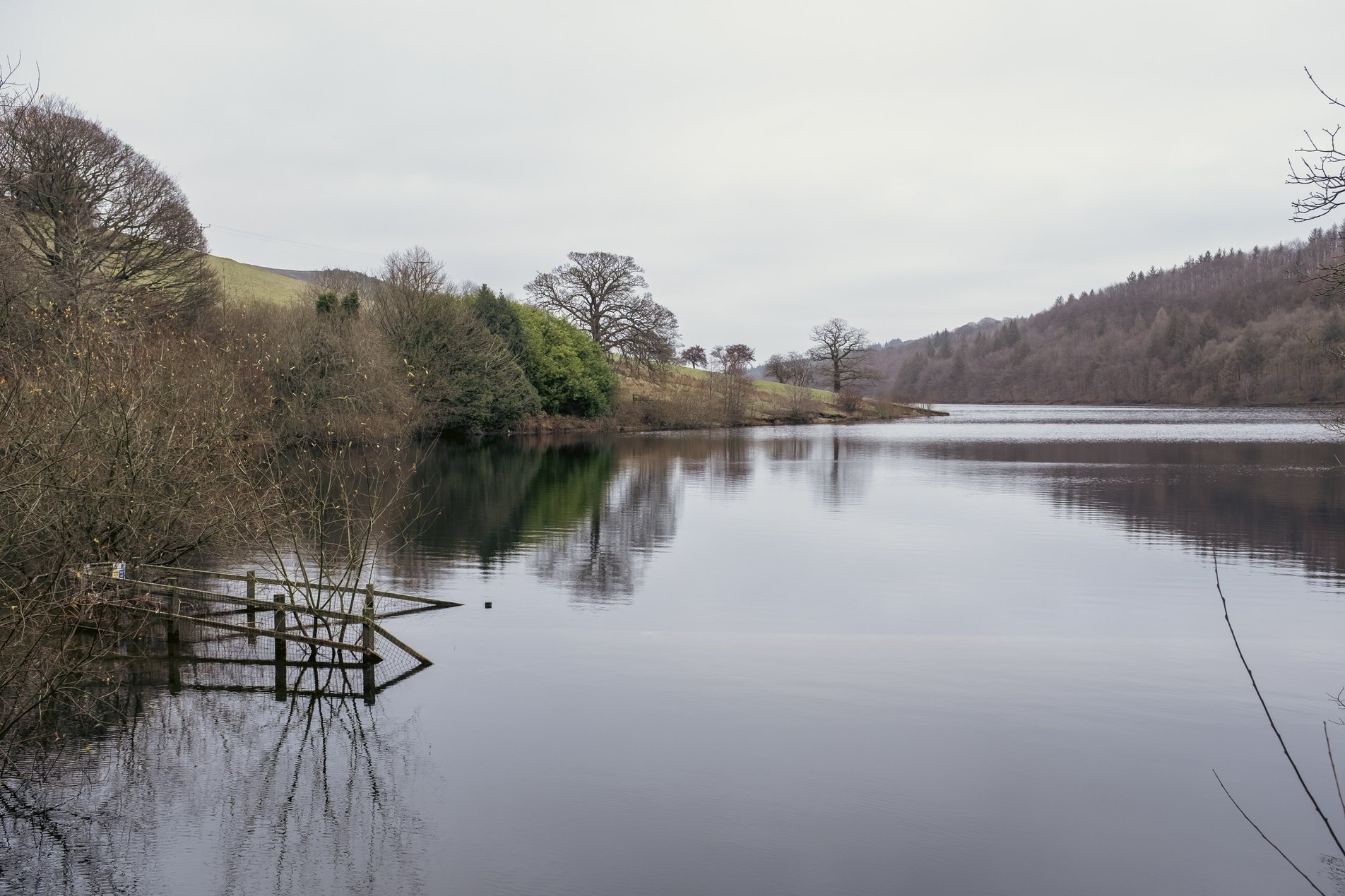
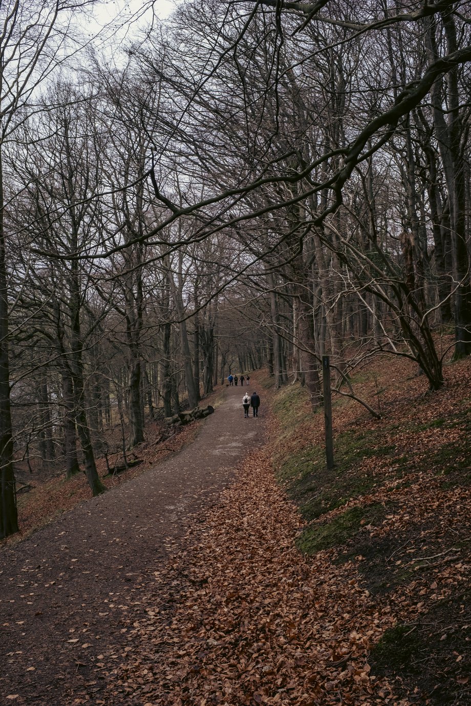
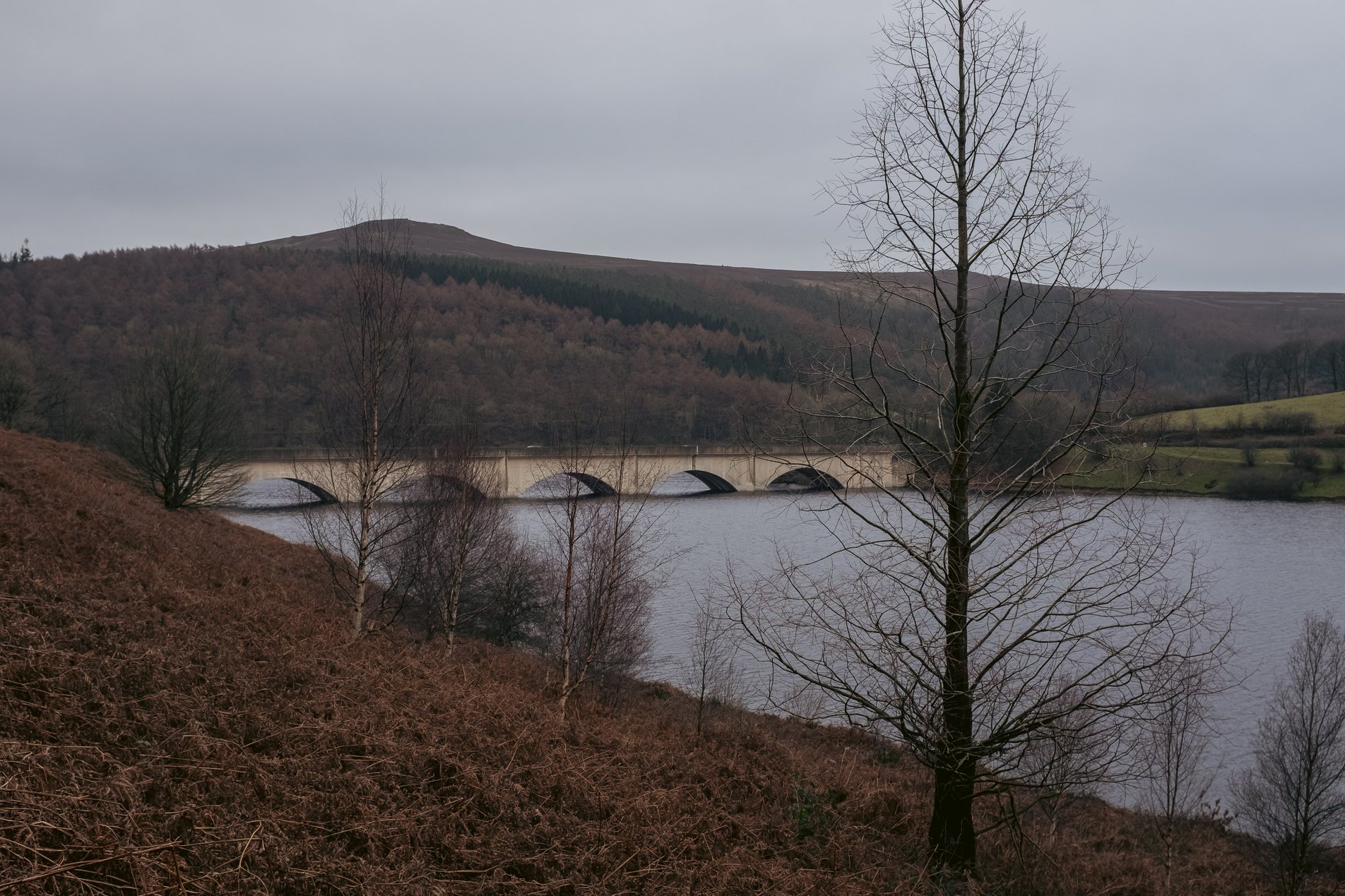
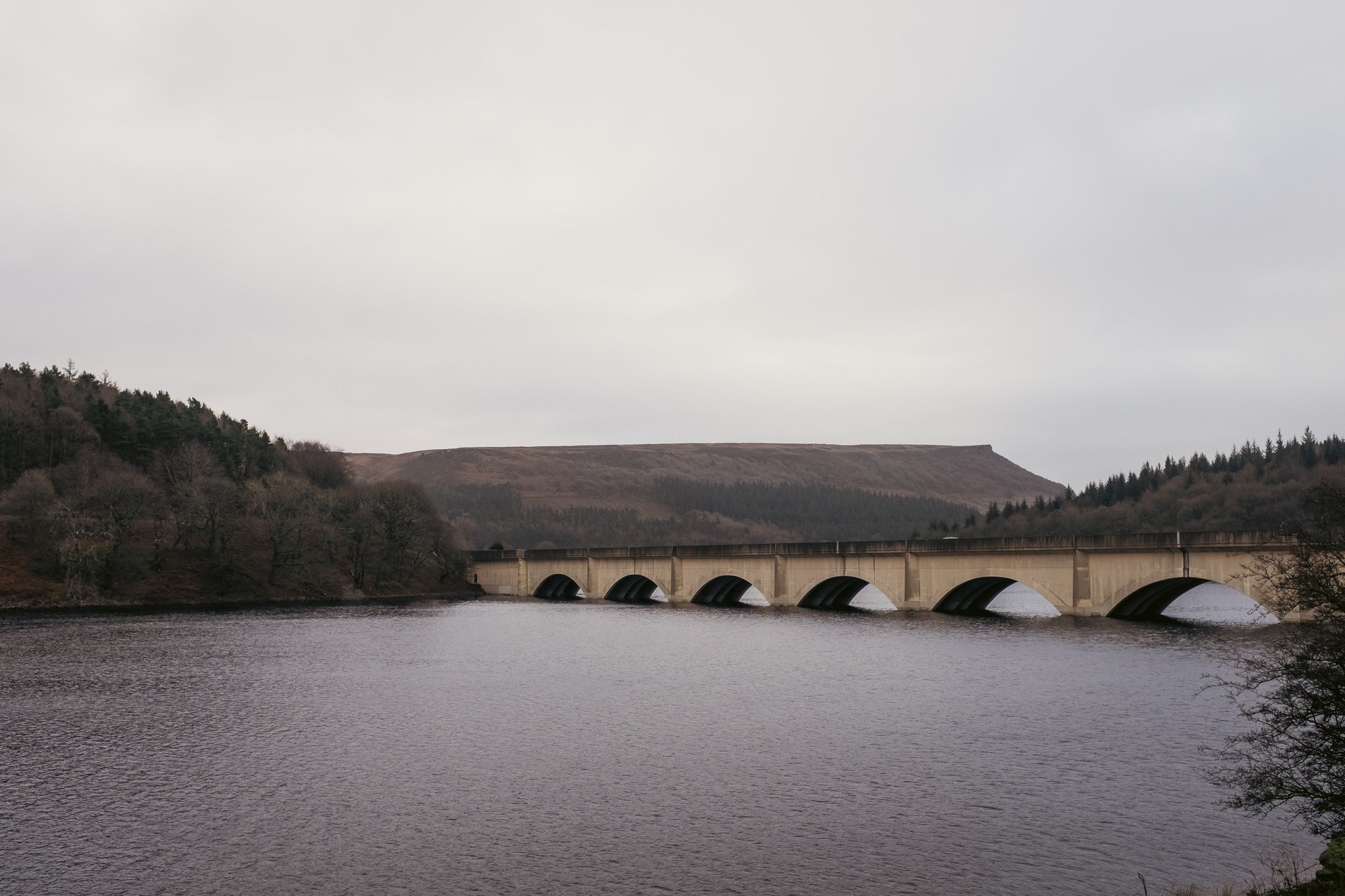
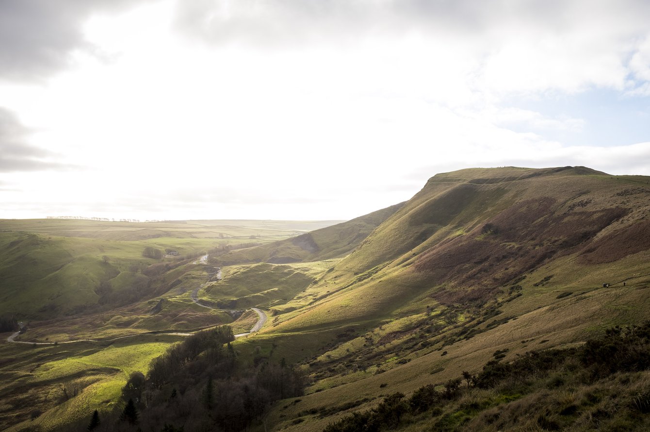
Ladybower Reservoir, Derbyshire, England

9.87KM

/

6.1MILES

An easy stroll around the perimeter of Ladybower Reservoir, taking in Derwent Dam and Ashopton Viaduct. Perfect for an overcast winter's day!

28 Dec 2025
Flat
2hrs, 55min (2hrs, 10min)
altitude Graph for ladybower reservoir walk

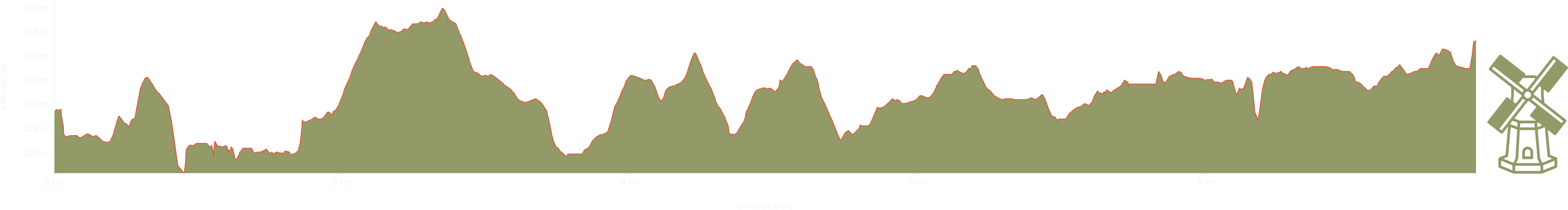
Elevation: Max 250m, Min 216m, Gain 34m

Pictures from the walk

ladybower reservoir

Fairhomes

below the derwent dam

The Derwent Dam

water flowing over the derwent dam

The Derwent Dam

the ladybower reservoir

The Ladybower Reservoir, site of the abandoned Derwent village

path alongside the ladybower reservoir

Path alongside the reservoir

the ashopton viaduct on ladybower reservoir

The Ashopton Viaduct on Ladybower Reservoir

ashopton viaduct with bamford edge in the distance

Ashopton Viaduct with Bamford Edge in the distance

Some walks nearby

mountain views from hike to mam tor in the peak district
Mam Tor

This was a beautiful, if very windy, Christmas Eve hike from Castleton to Mam Tor via Hollins Cross. Stunning views and scenery all round - this is a popular walk for good …

peak district landscape
Bradwell Edge

This route from the Peak District village of Bradwell takes in Bradwell Edge with views along the Hope Valley, returning via the neighbouring village of Brough. We did this on Boxing Day …

peak district landscape
Monk's Dale

A short walk from the Millers Dale Car Park through Monk's Dale, returning via the Limestone Way. When we visted (December 2025) many trees had been felled in the dale due to …