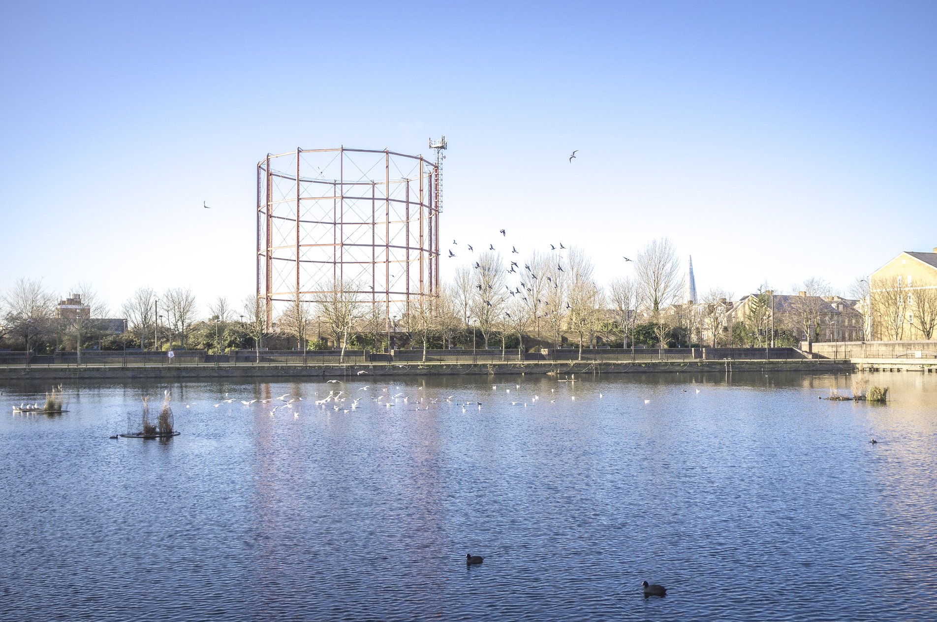
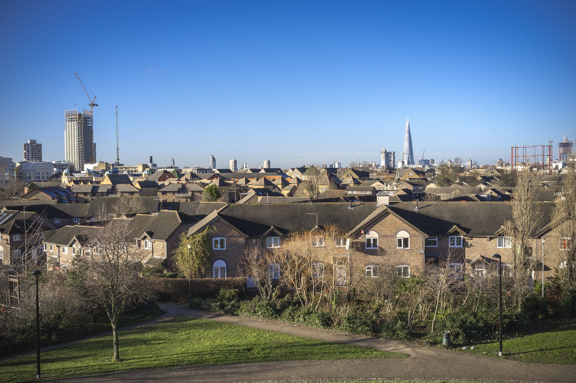
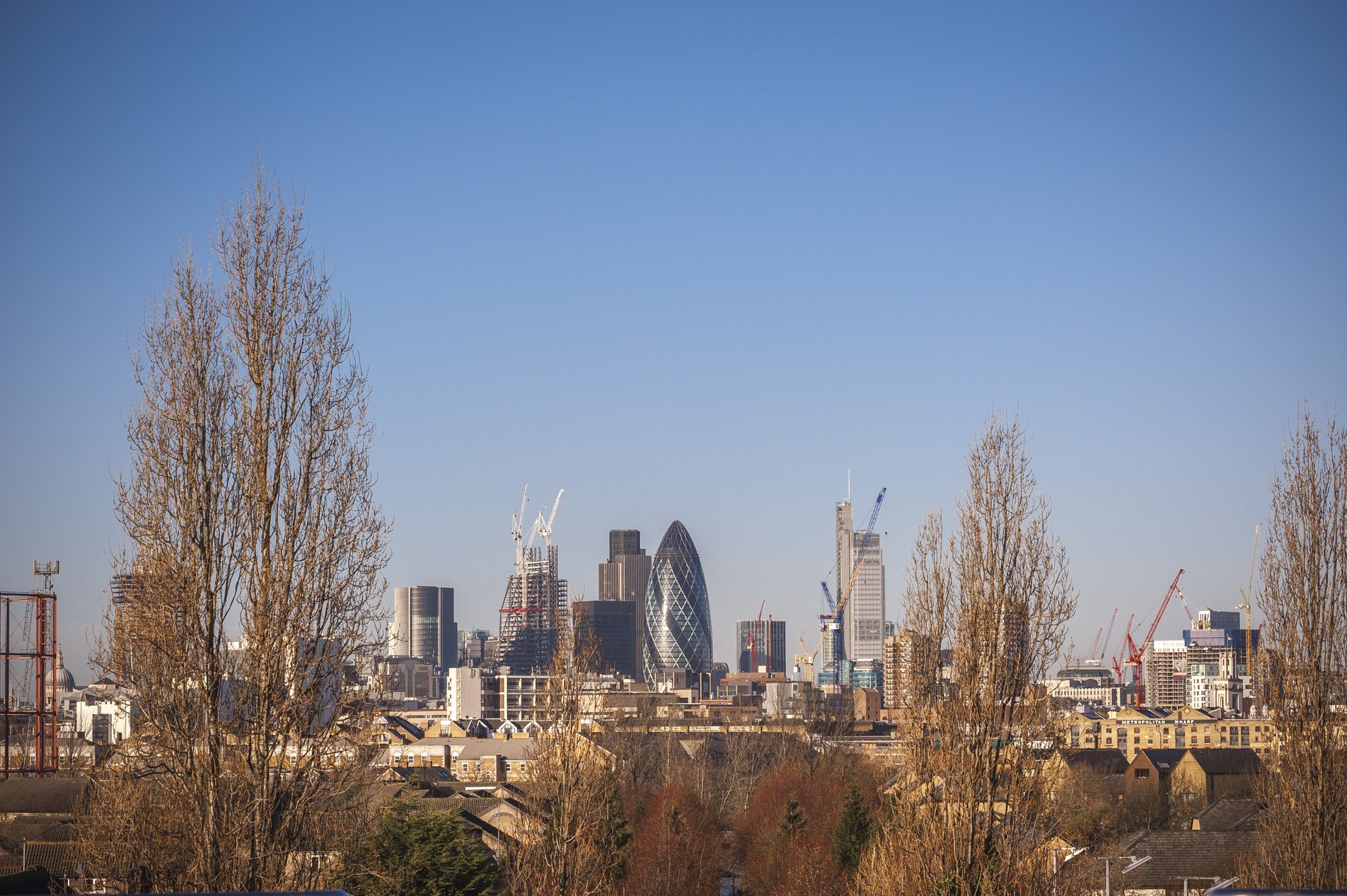
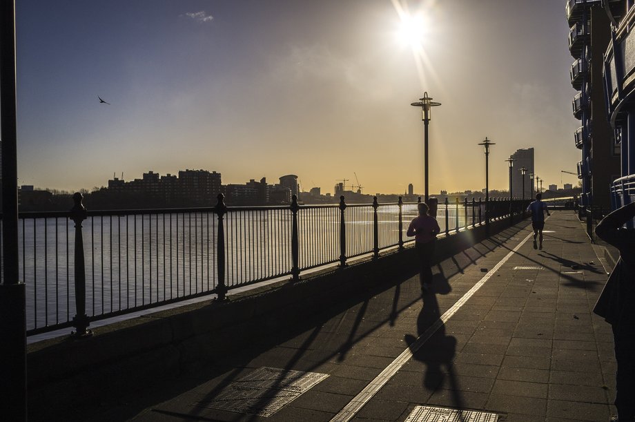
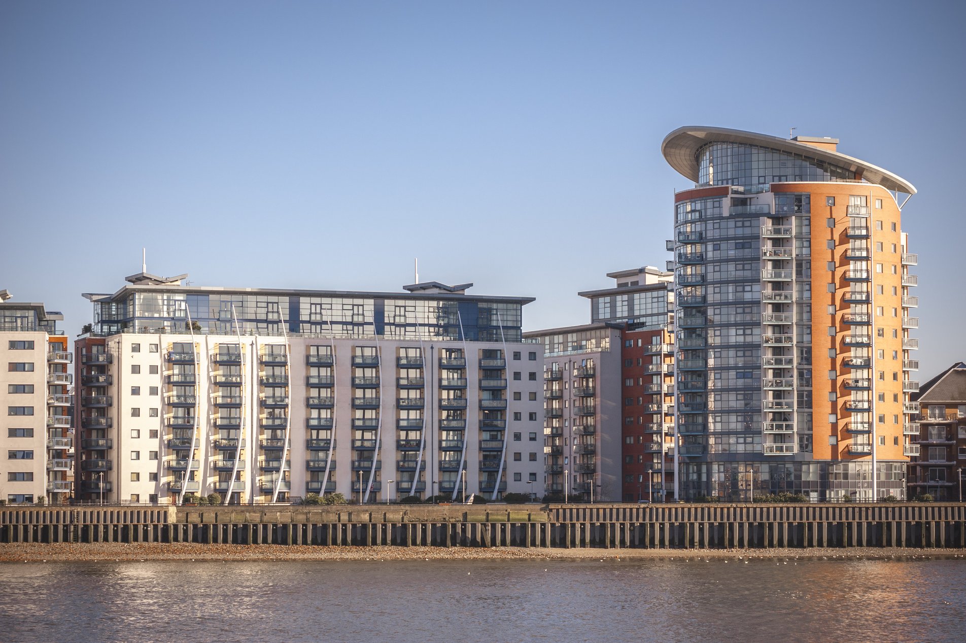
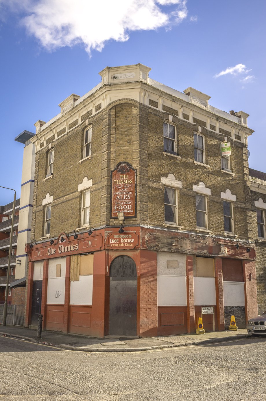
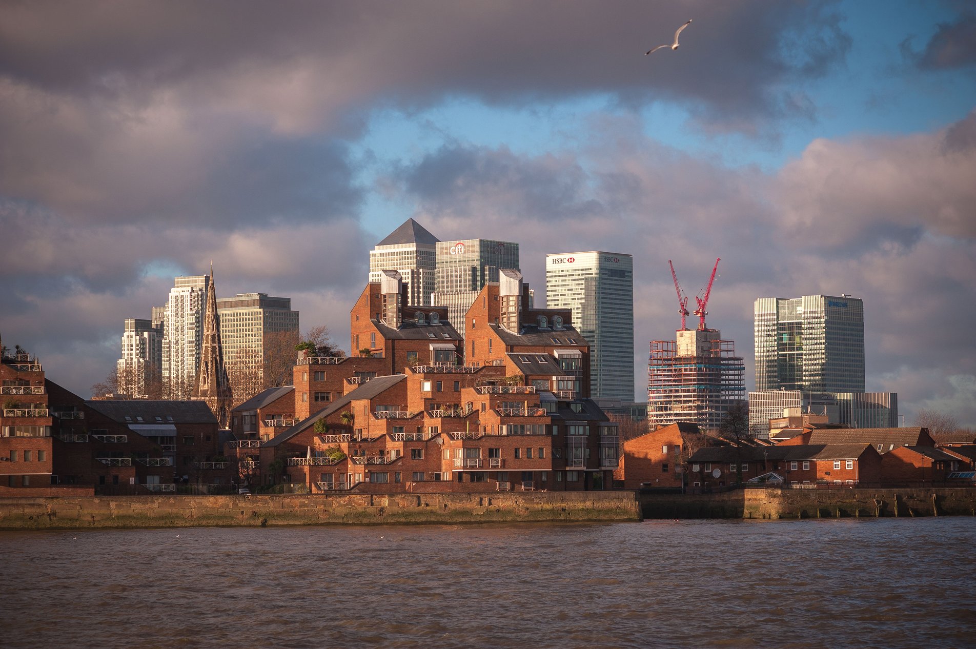
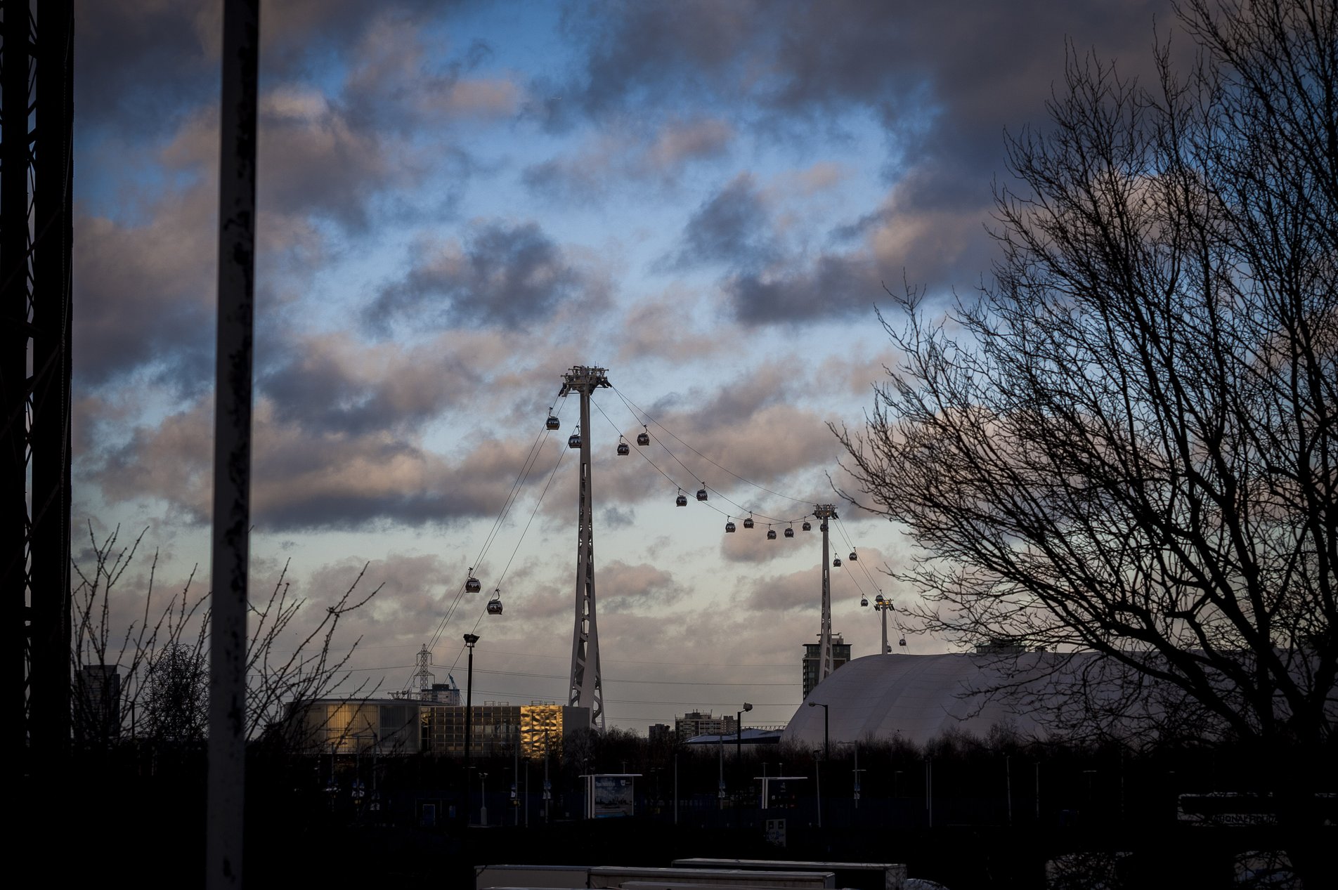
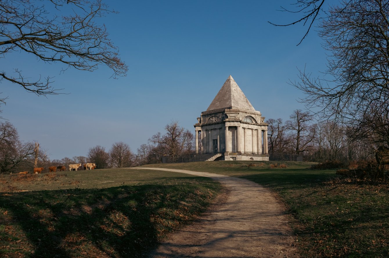
Rotherhithe, Greater London, England
12.9KM
/8.0MILES
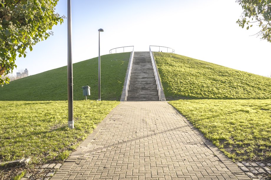
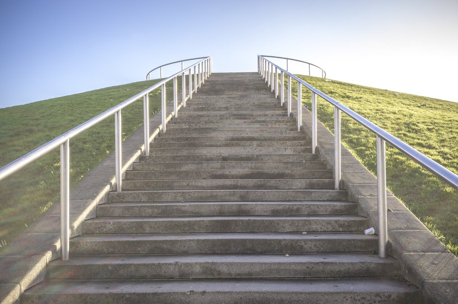
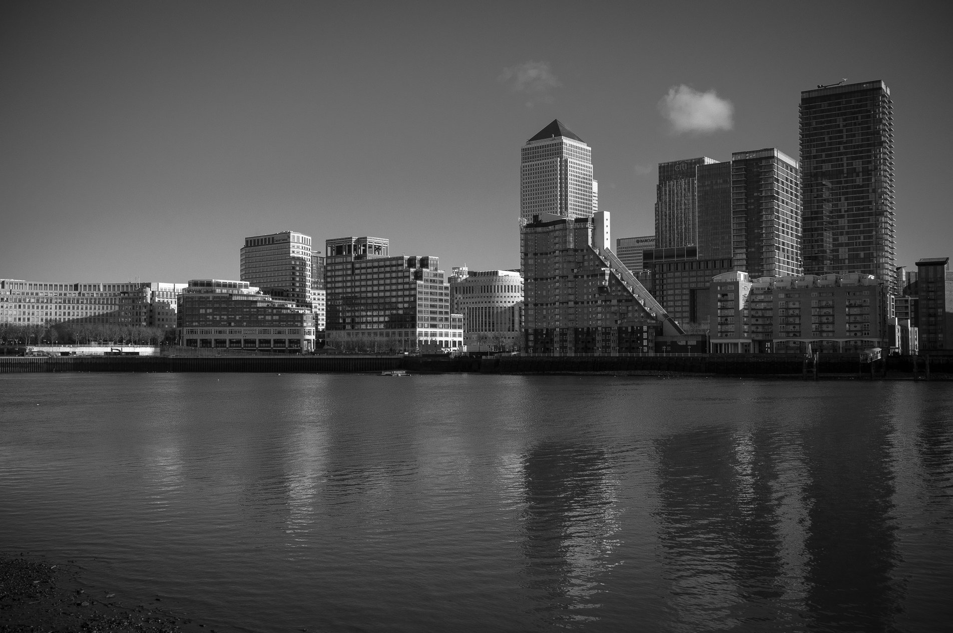
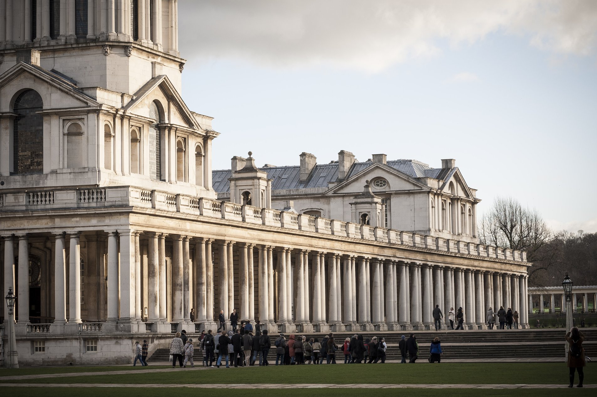
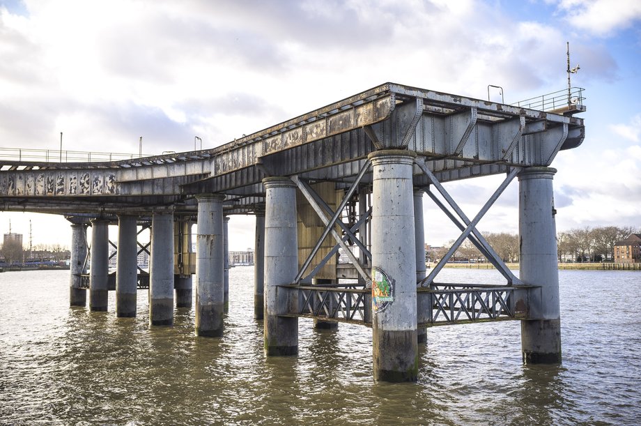
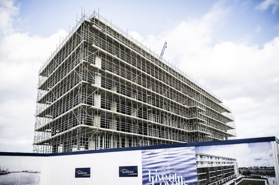
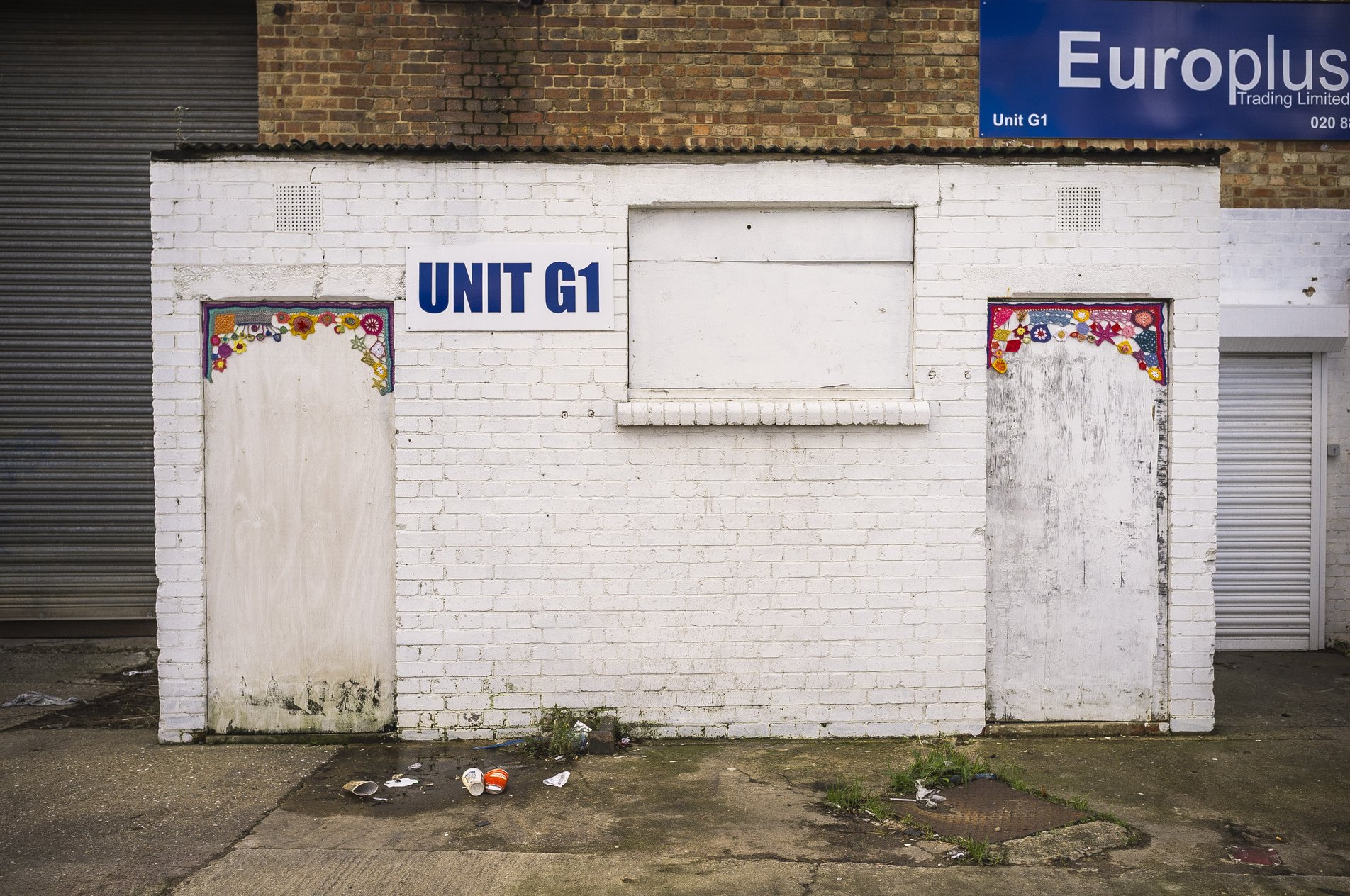
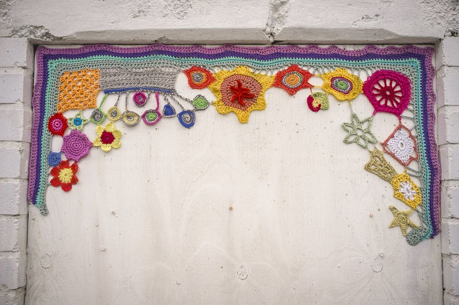
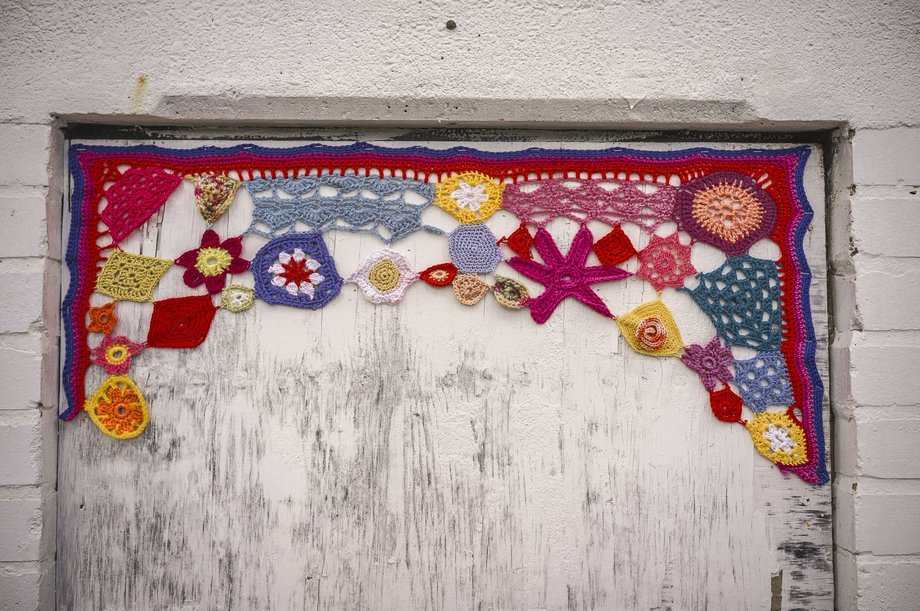
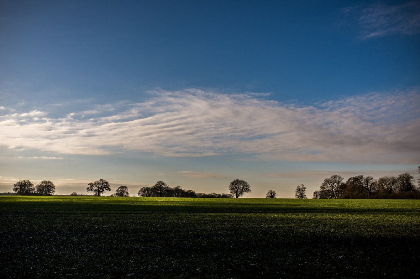
A new year's day walk from Rotherhithe to Greenwich, mostly following the route of the Thames Path.
1 Jan 2013
Level
4hrs, 30min
(2hrs, 53min)
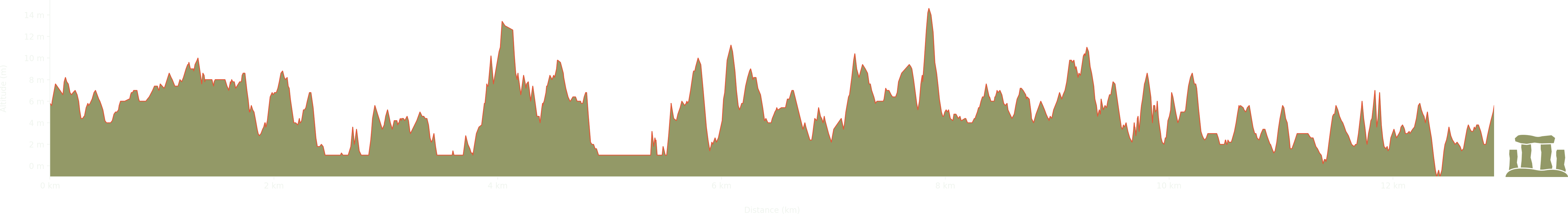
Elevation: Max 15m, Min -1m, Gain 16m