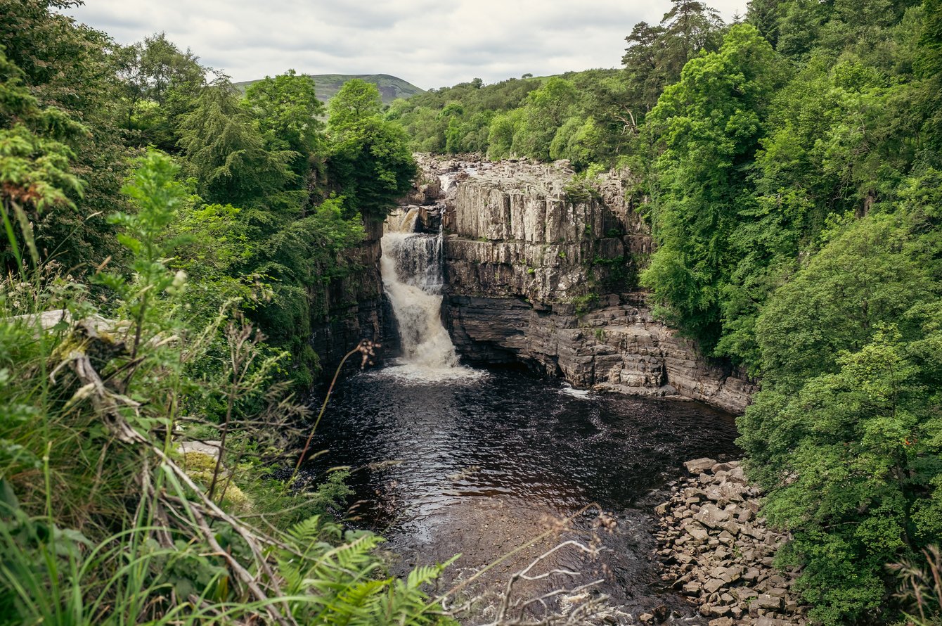
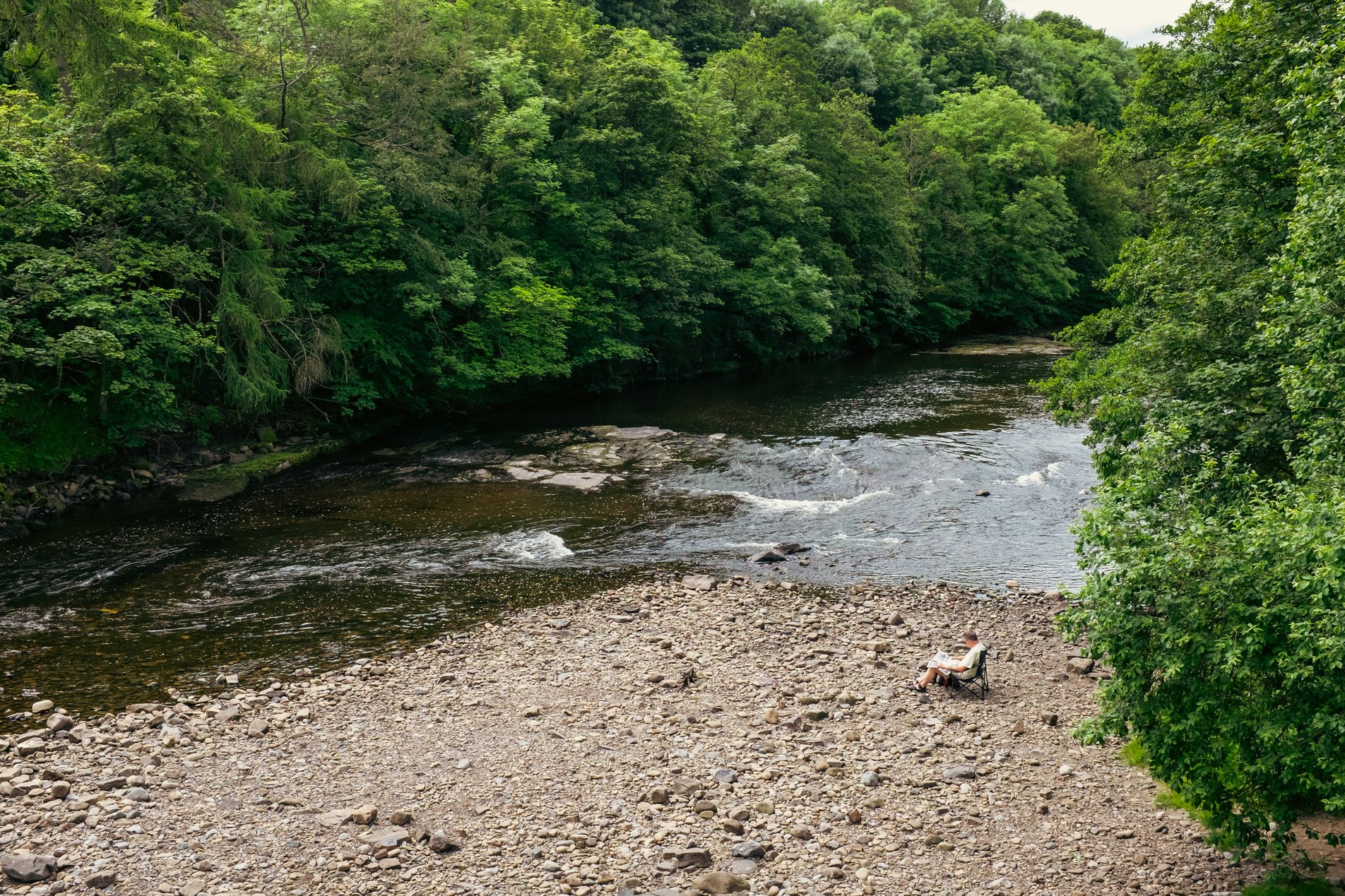
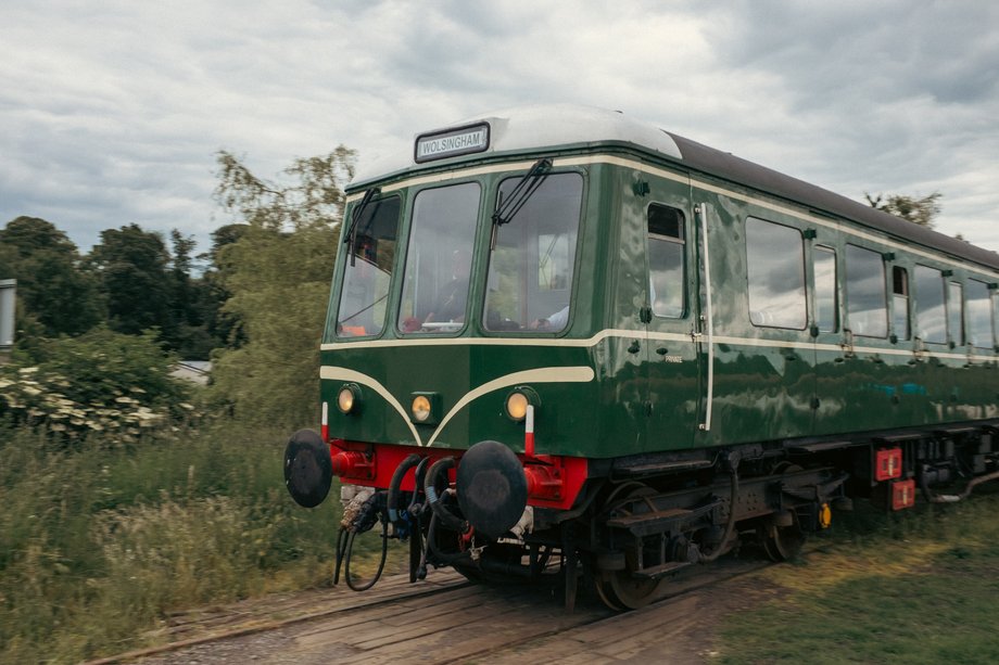
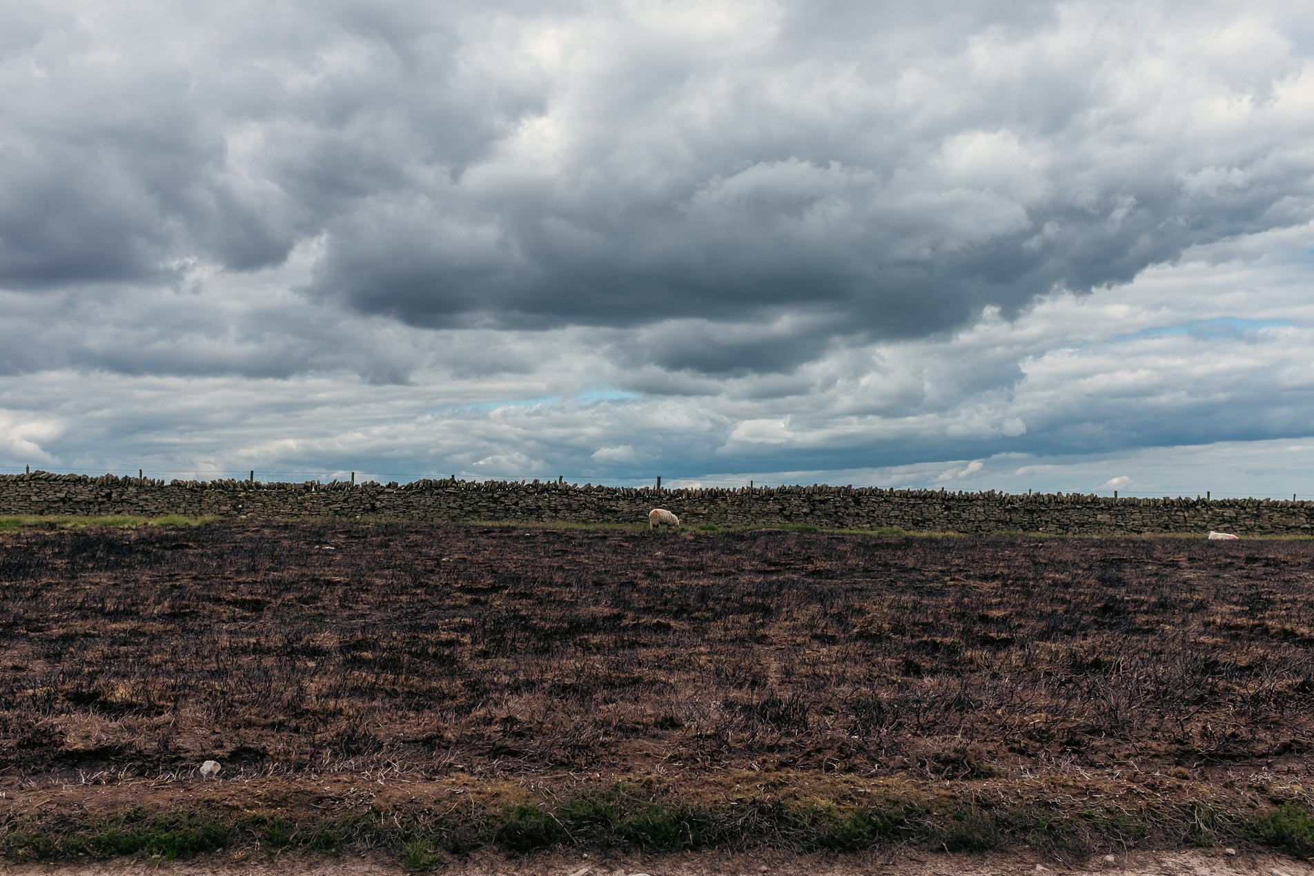
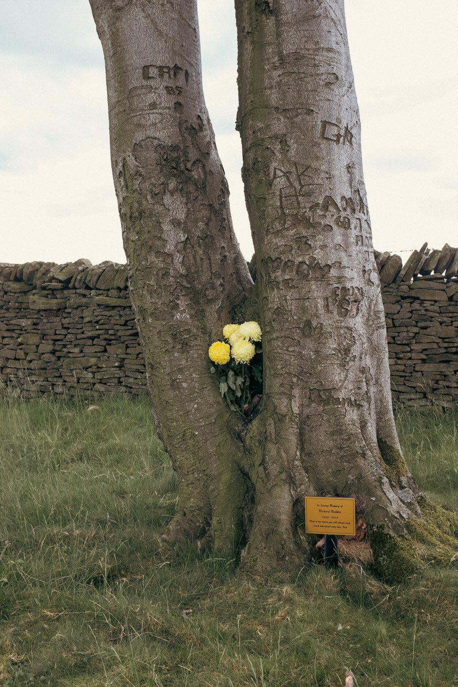
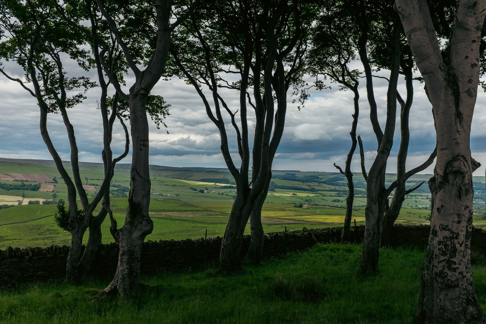
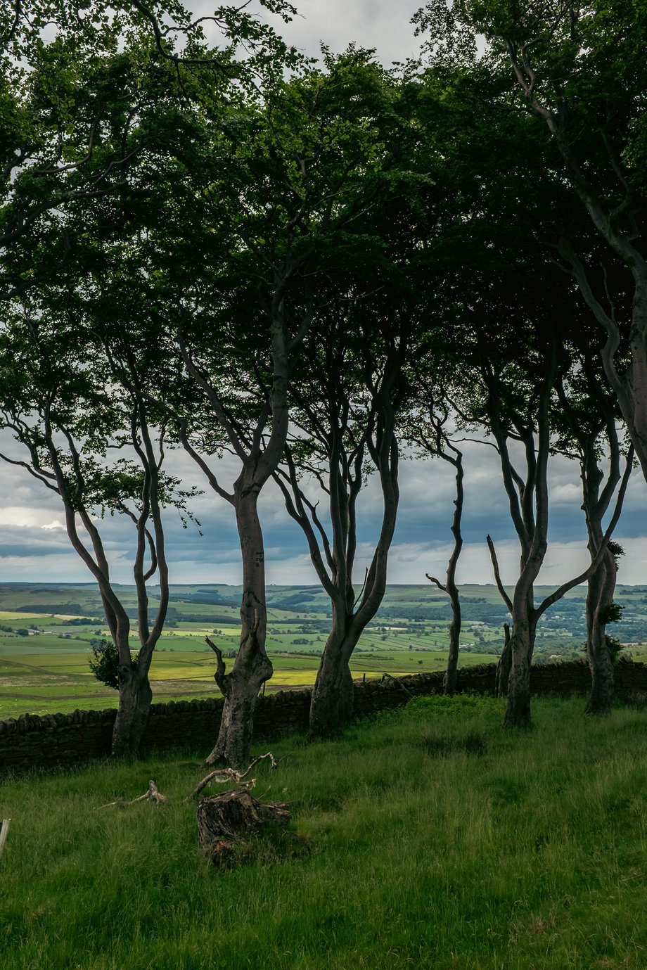
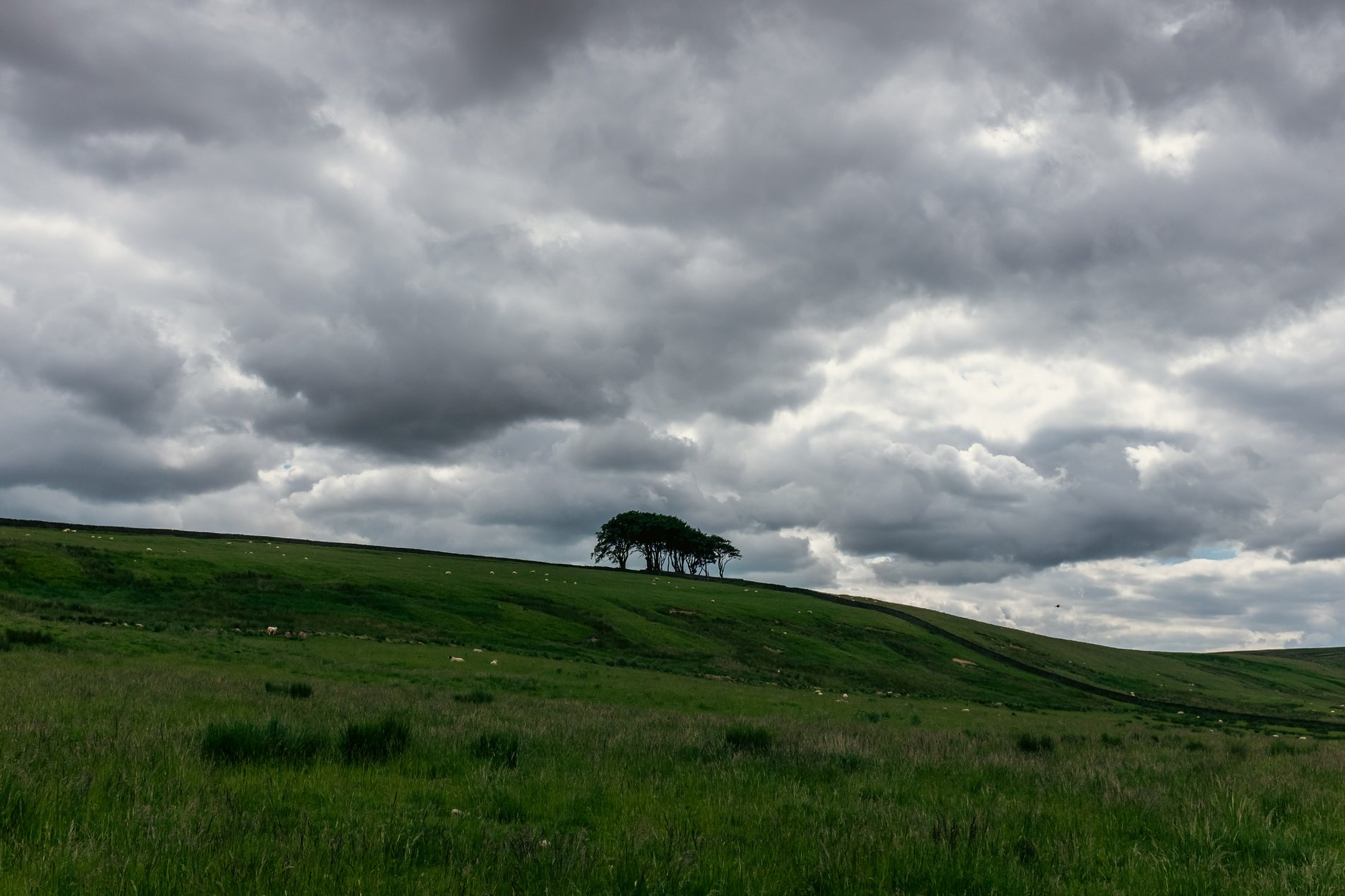
This was a 14 mile figure-of-eight loop that centered on the market town of Wolsingham. The walk began at Newhall Farm, through Wolsingham then onto Weardale Way along Sunnyside Edge before returning along the path of the Weardale Railway and River Wear.
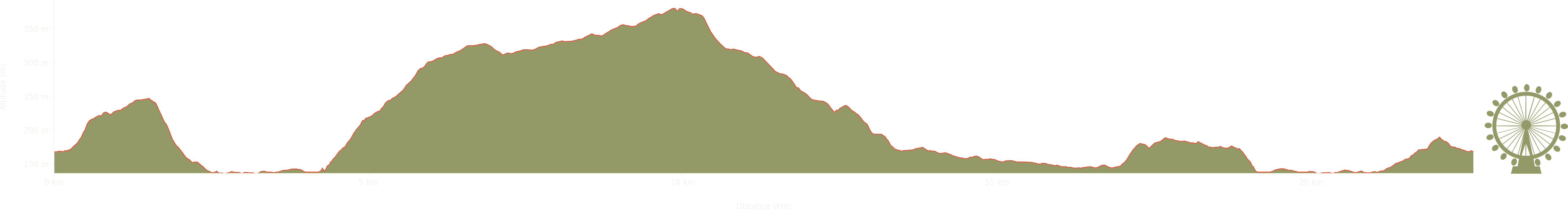
Elevation: Max 380m, Min 136m, Gain 244m
Reading the paper by the River
Wolsingham Station signage
Train on the Weardale Railway
Sunnyside Edge on the Weardale Way
Engraved tree
Memorial to Richard Buddin 1949 - 2013
Looking over Pikeston Fell
Twisted trees
Harvet Hill
Abandonded crane
Cottages at Wolsingham
A lovely walk along the Pennine Way follwing the River Tees to High Force Waterfall and beyond. The route switches back at Saur Hill Bridge and returns away from the river via …
A straight up and back ascent of High Cup Nick following the Pennine Way from Dufton. High Cup is a huge u-shaped glacial chasm in the Pennine scarp, an impresive and beautiful …
Great Asby ScarNational Nature Reserve, near Orton is known for its limestone pavement. This walk takes in the Scar itself as well as areas of Tarn Moor and the Dales High Way.