production

Mam Tor

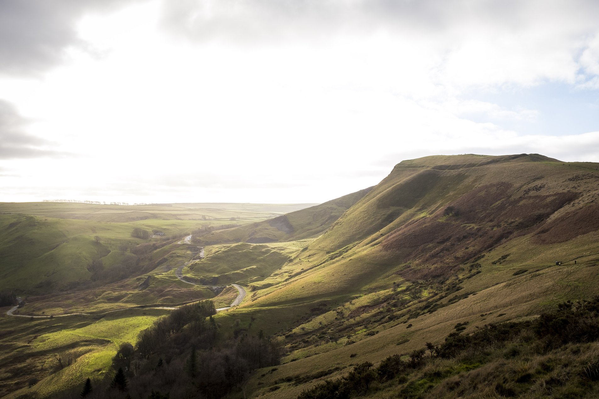
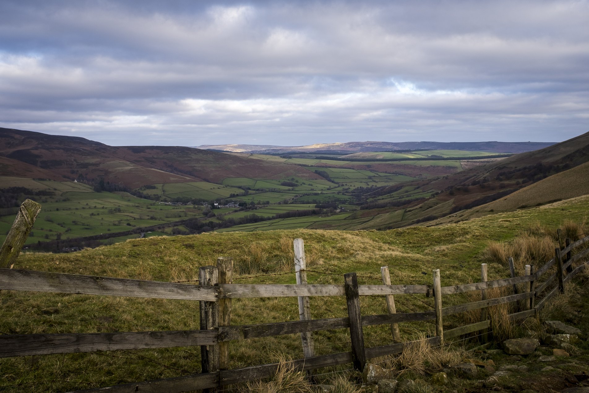
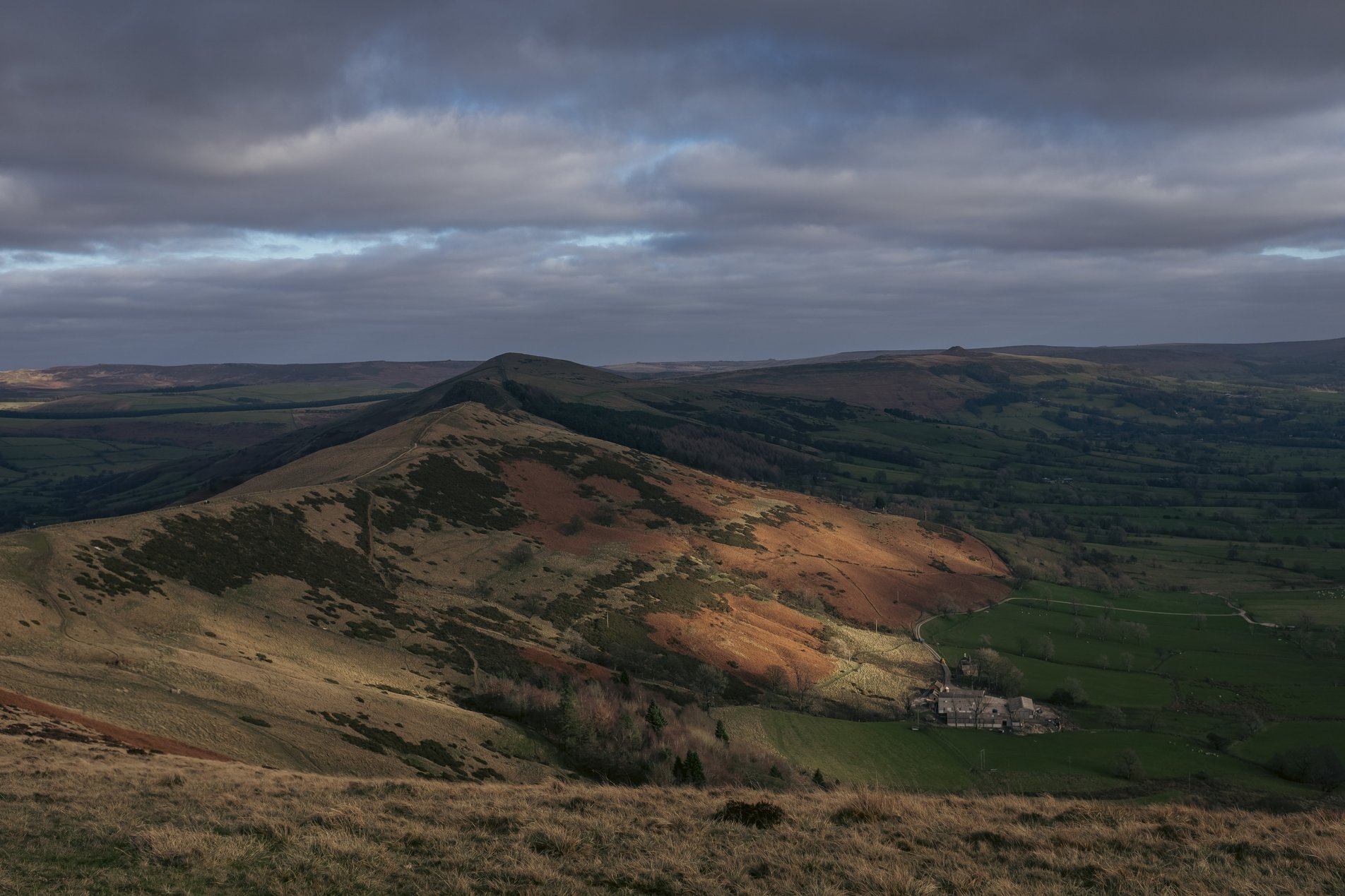
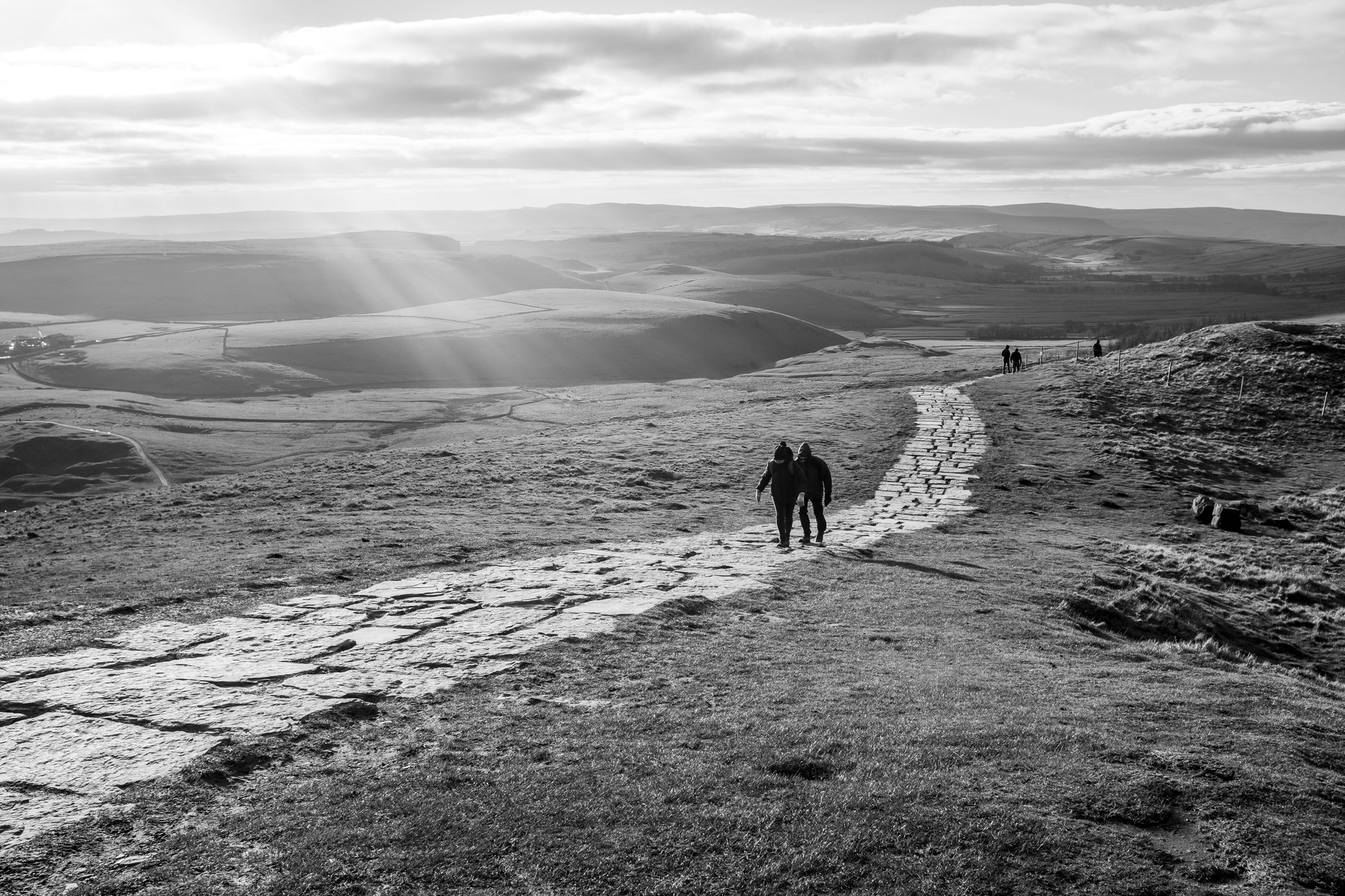
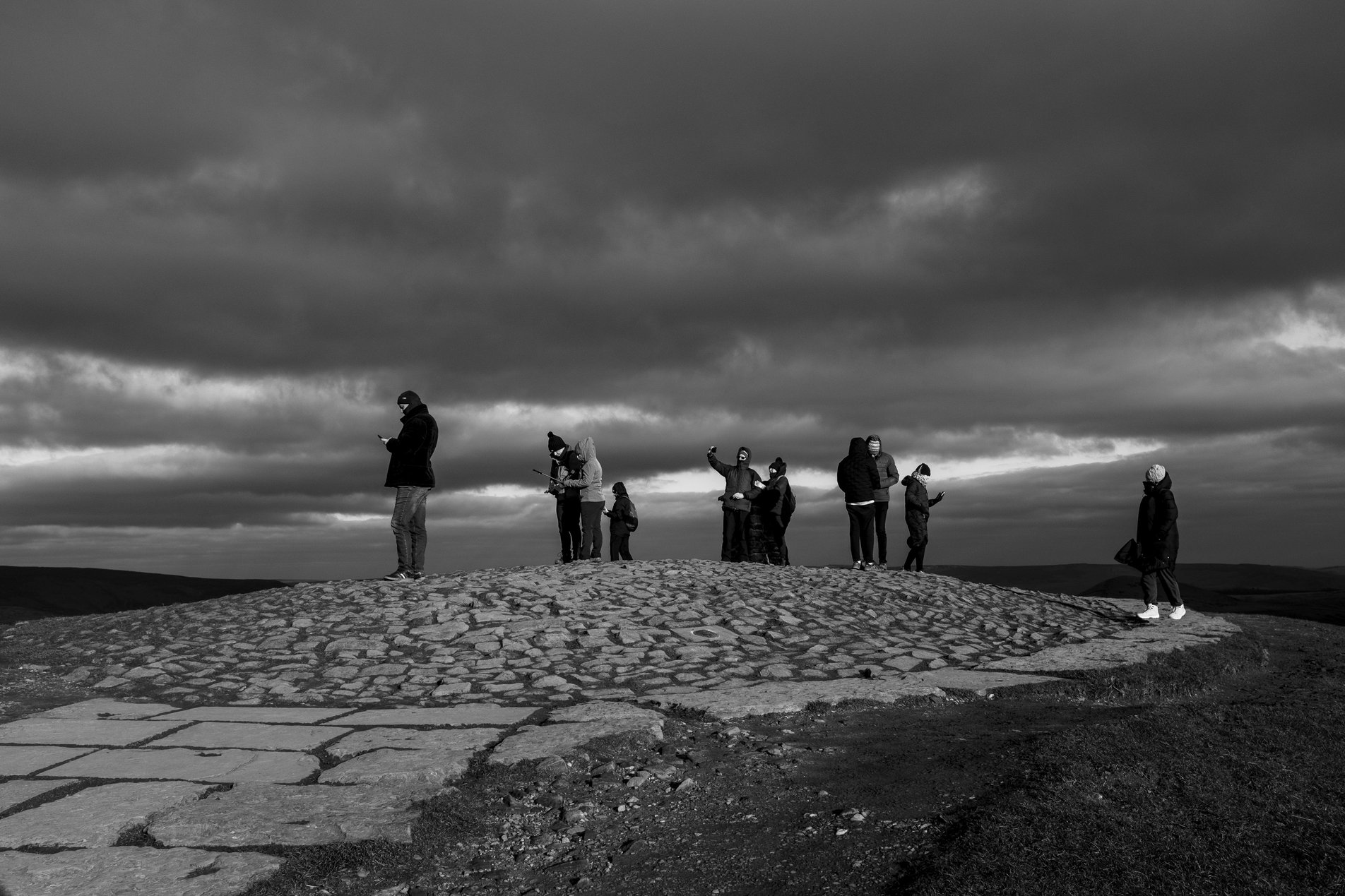
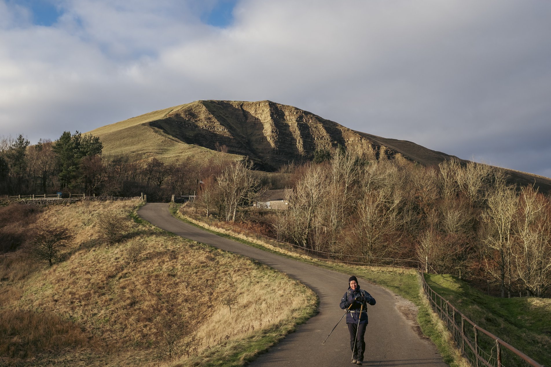
Mam Tor, Derbyshire, England

9.16KM

/

5.7MILES

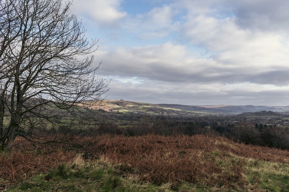
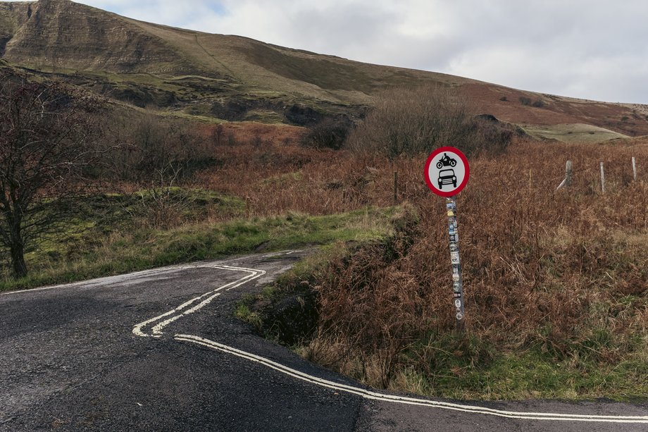
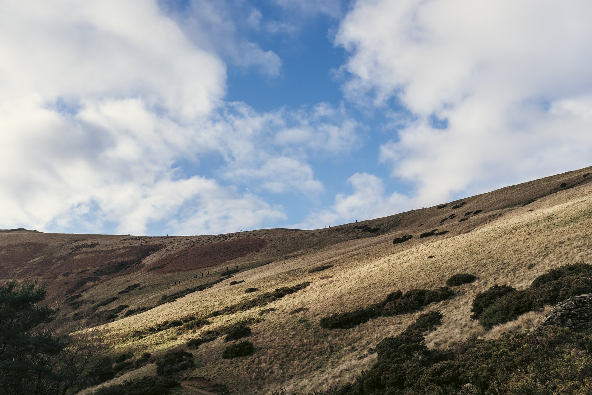
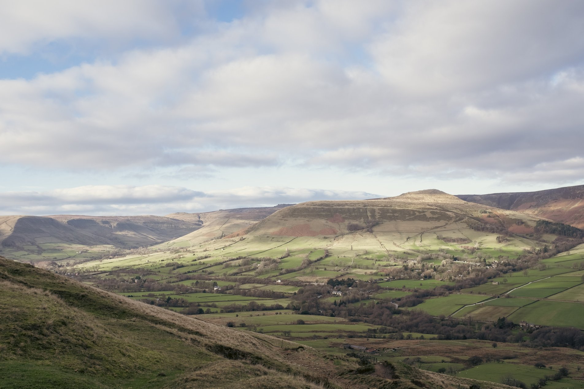
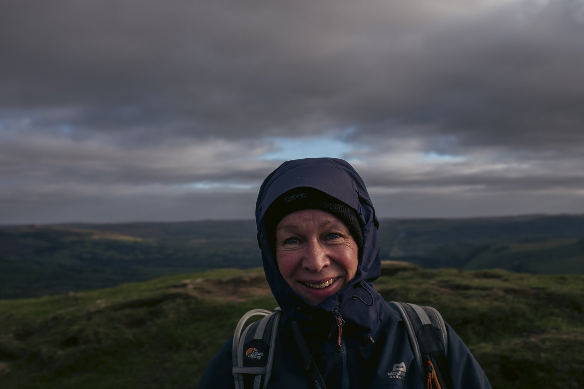
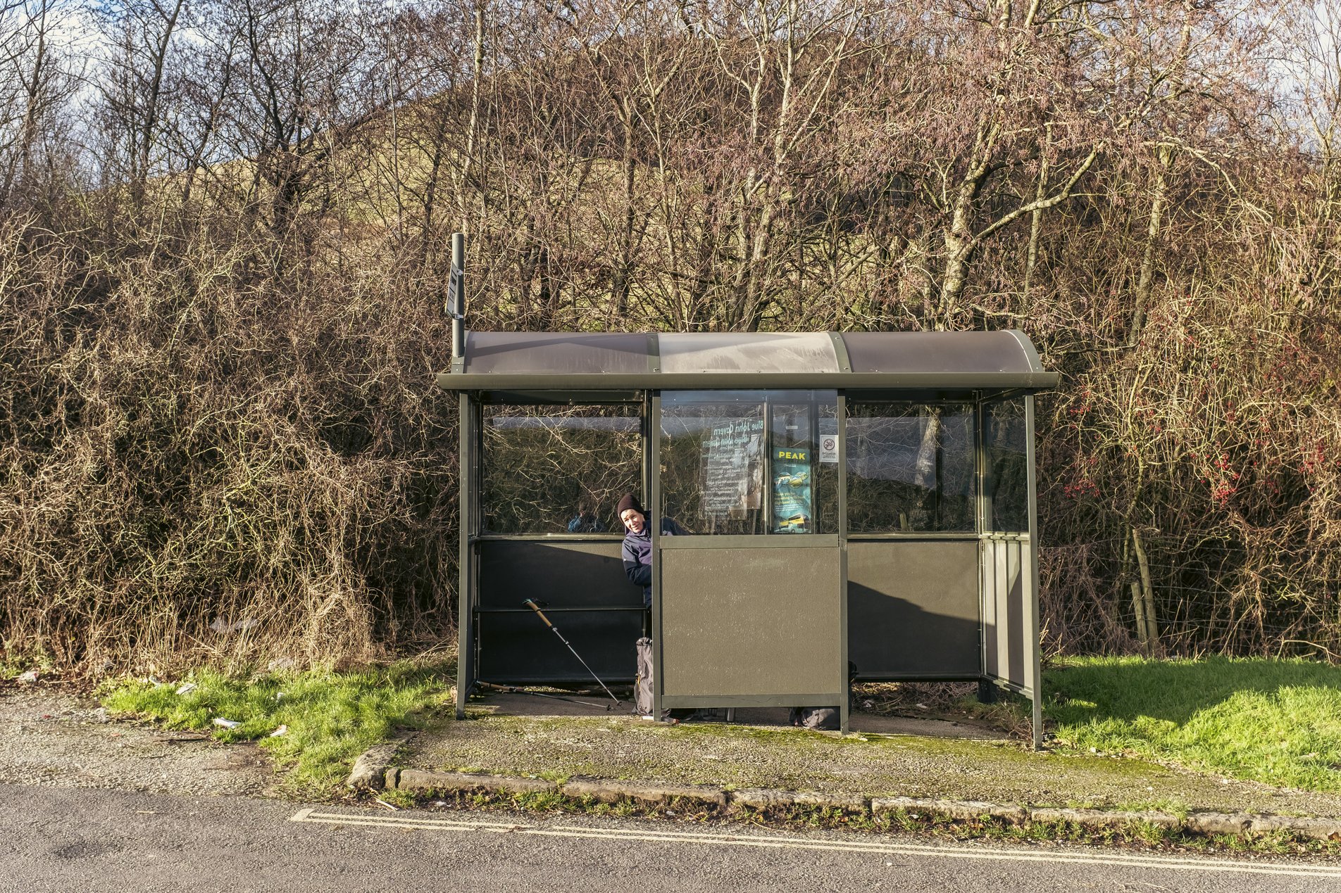
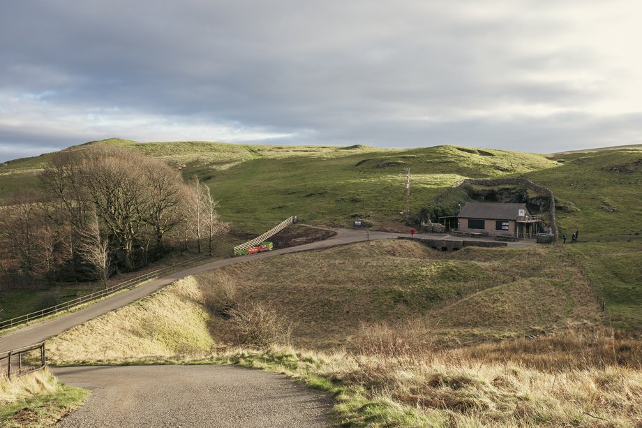
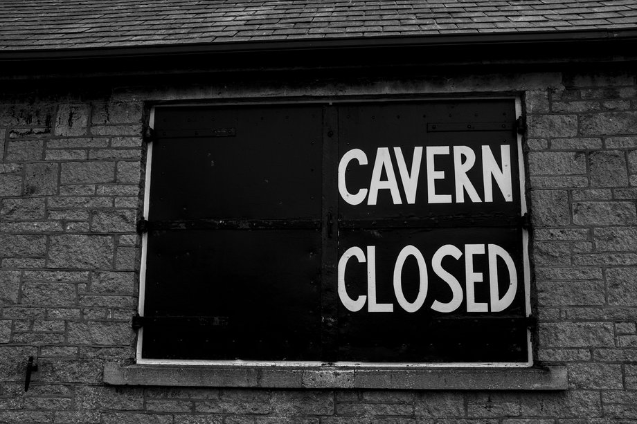
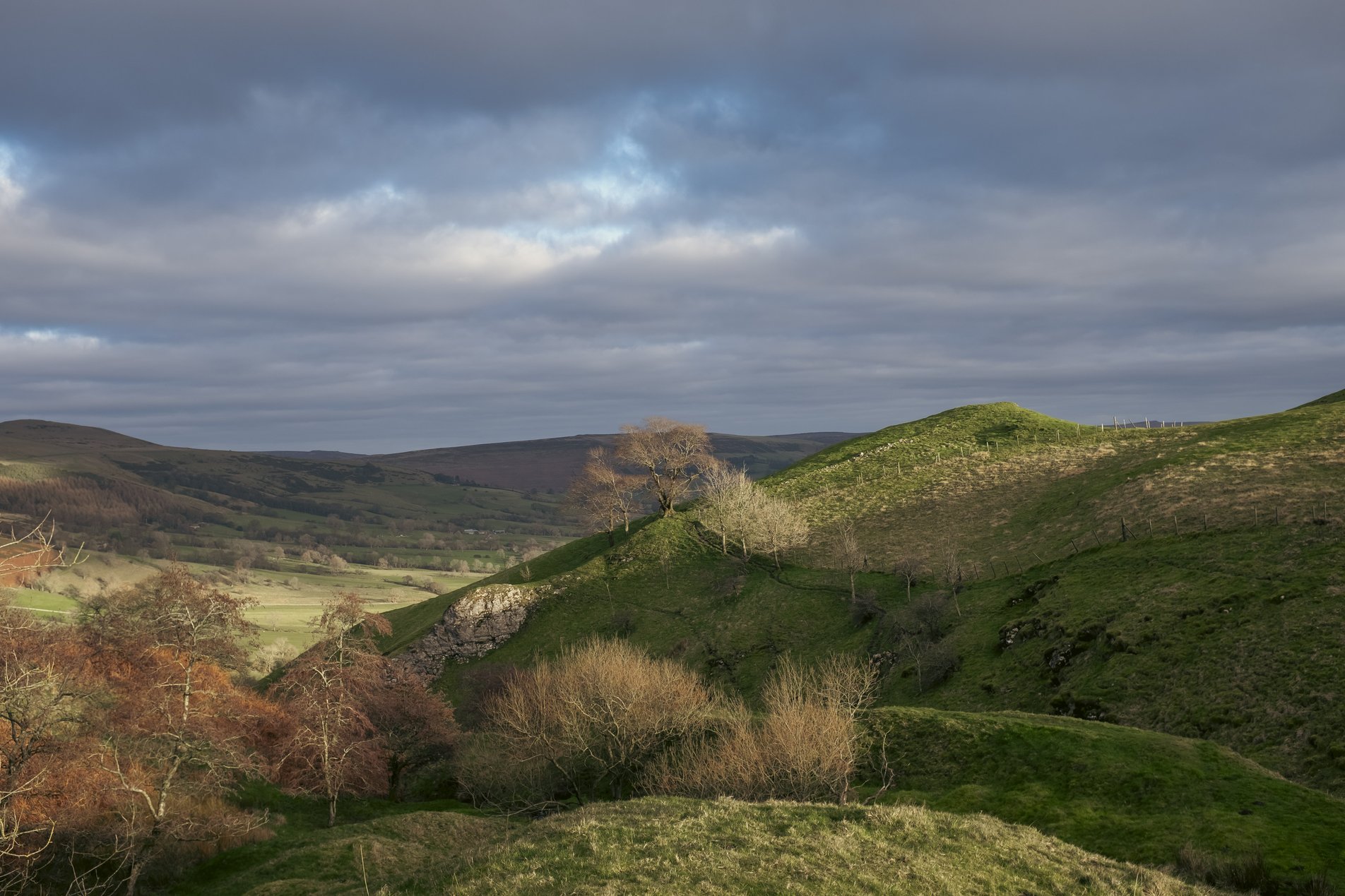
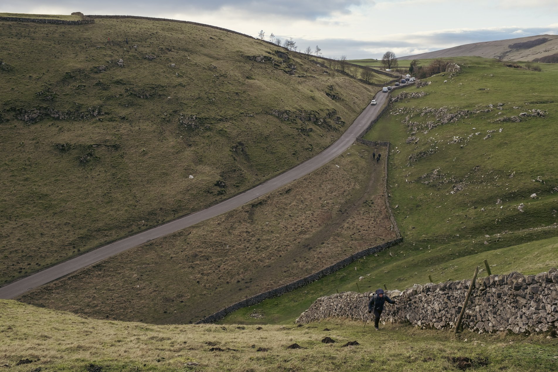
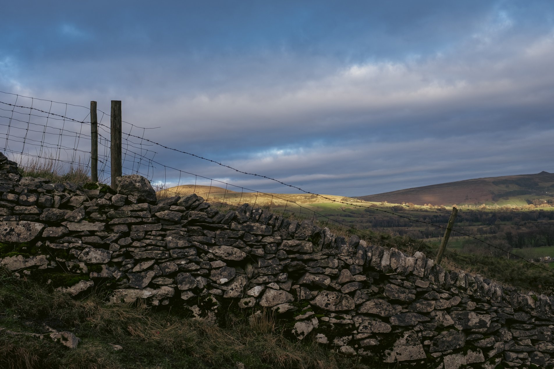
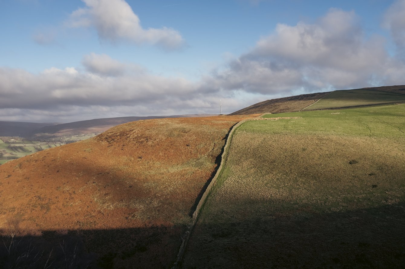
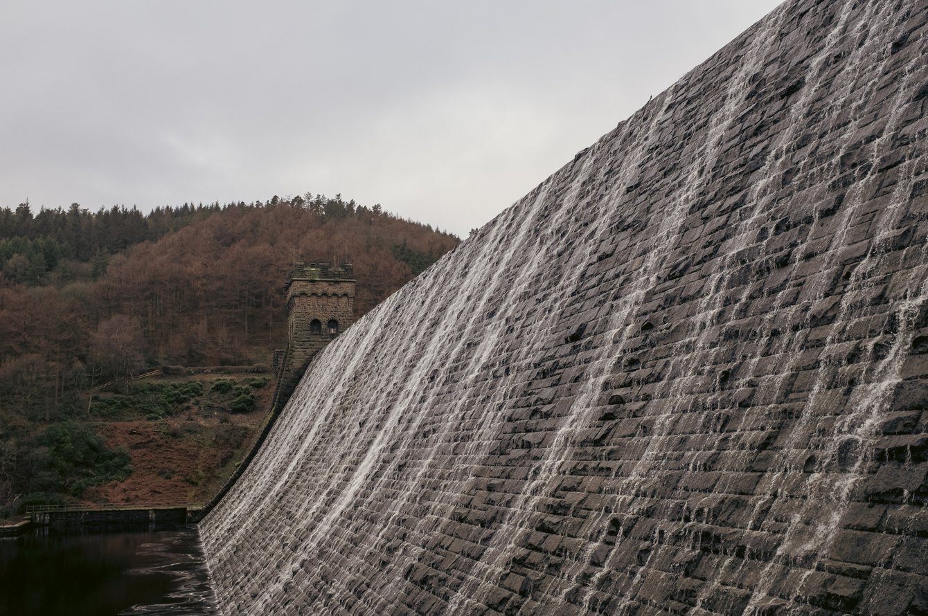
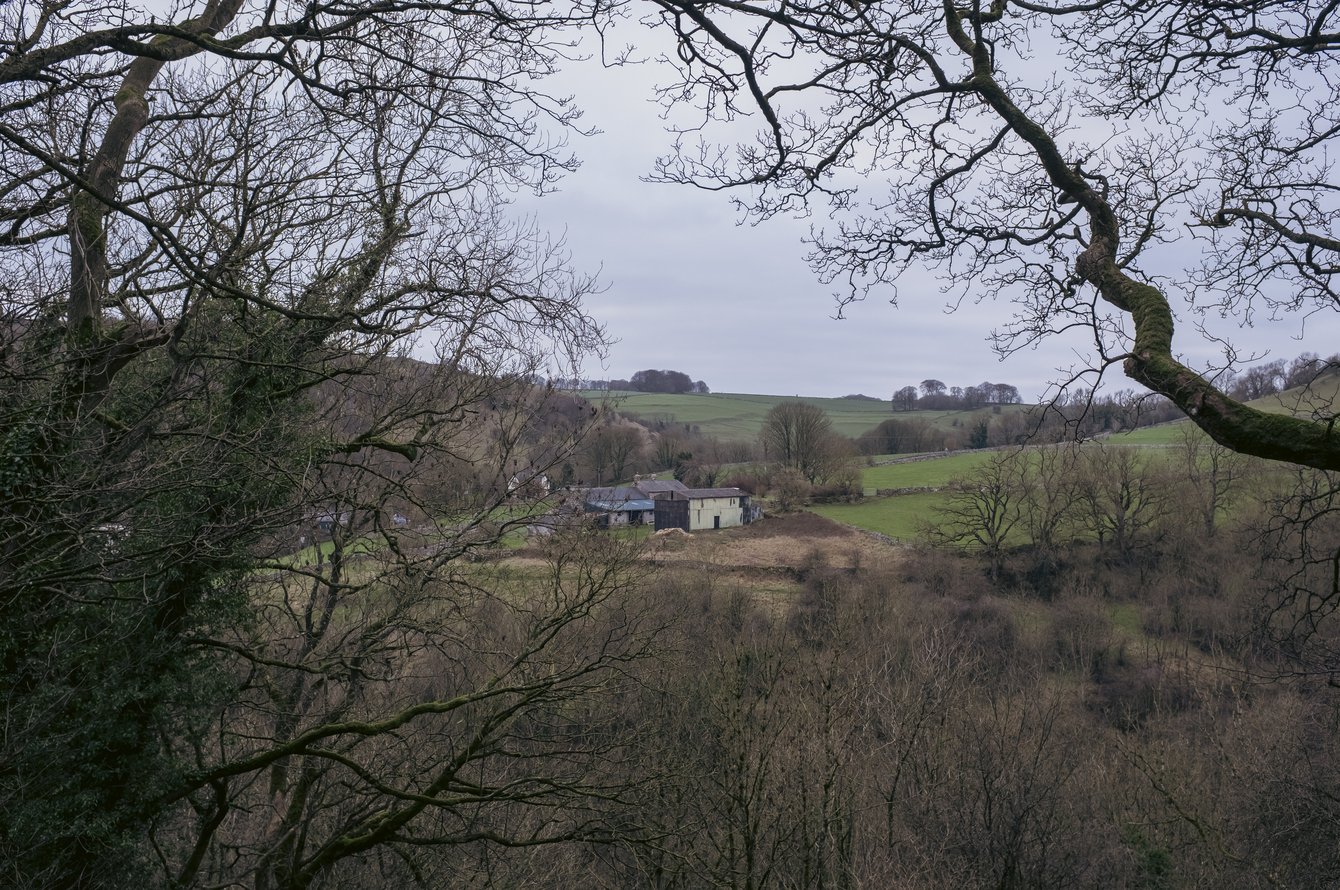
This was a beautiful, if very windy, Christmas Eve hike from Castleton to Mam Tor via Hollins Cross. Stunning views and scenery all round - this is a popular walk for good reason!

24 Dec 2025
Mountainous
4hrs, 15min (2hrs, 28min)
altitude Graph for mam tor walk

Elevation: Max 541m, Min 180m, Gain 361m

Pictures from the walk

peak district landscape view

Above Odin Mine

mountain road with yellow lines and no vehicles sign post

End of the road

mountain views from hike to mam tor in the peak district

Passing through the Mam Plantation

mountain views from hike to mam tor in the peak district

The view from Hollins Cross

mountain views from hike to mam tor in the peak district

On the ridge towards Mam Tor

mountain views from hike to mam tor in the peak district

Looking towards the Vale of Eden

mountain views from hike to mam tor in the peak district

The view over Mam Farm

hiker smiling in hooded jacket on hillside

G battling with the wind

walkers on stone mountain path in winter sunshine

The path down from Mam Tor

people on the summit of mam tor

Photo opps on the summit

hiker in bus shelter

Lunch in the bus stop (sheltering from the wind)

bus times poster

Peak buses

Blue John Cavern

Blue John Cavern

Cavern Closed sign

Cavern Closed

hiker on road with mam tor in background

At Blue John Cavern (with Mam Tor in the background)

mountain views from hike to mam tor in the peak district

Beautiful landscape views

mountain views from hike to mam tor in the peak district

The track to Winnats Head

dry stone wall

On the descent from Winnats Head

Some walks nearby

Sunlit rolling hills split by a narrow stone wall: rust-colored bracken on the left, green pasture on the right, long shadows under a blue sky with scattered clouds.
Bradwell Edge

This route from the Peak District village of Bradwell takes in Bradwell Edge with views along the Hope Valley, returning via the neighbouring village of Brough. We did this on Boxing Day …

Stone dam with water cascading down its angled, blocky face; a small turreted masonry tower at the far end, dark reservoir below and wooded hills under a gray, overcast sky.
Ladybower Reservoir

An easy stroll around the perimeter of Ladybower Reservoir, taking in Derwent Dam and Ashopton Viaduct. Perfect for an overcast winter's day!

peak district landscape
Monk's Dale

A short walk from the Millers Dale Car Park through Monk's Dale, returning via the Limestone Way. When we visted (December 2025) many trees had been felled in the dale due to …