production

South Downs Way

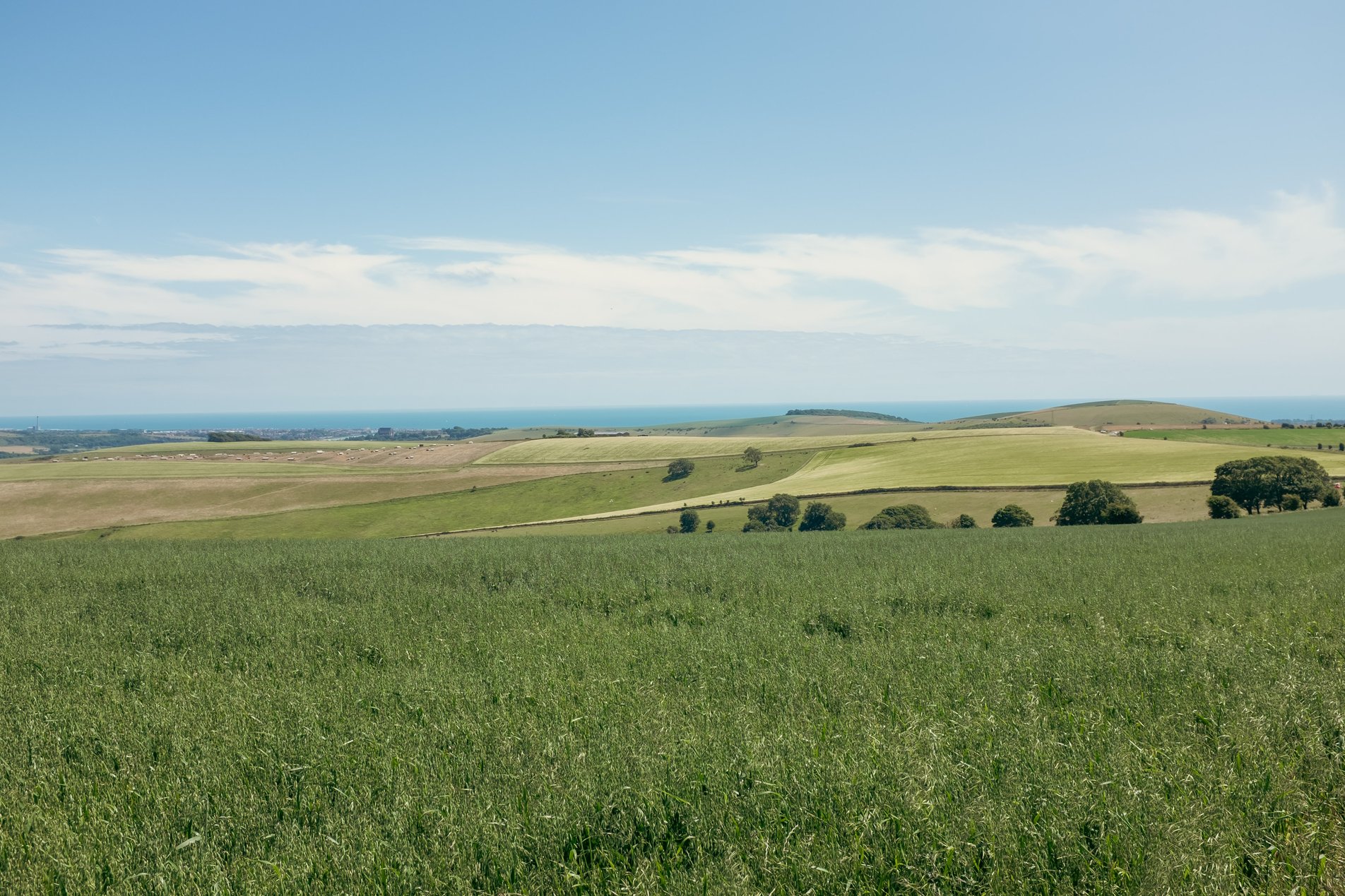
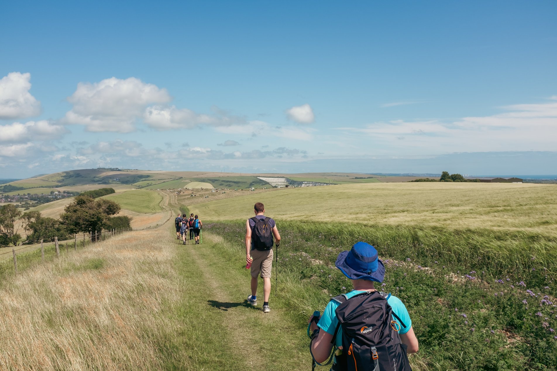
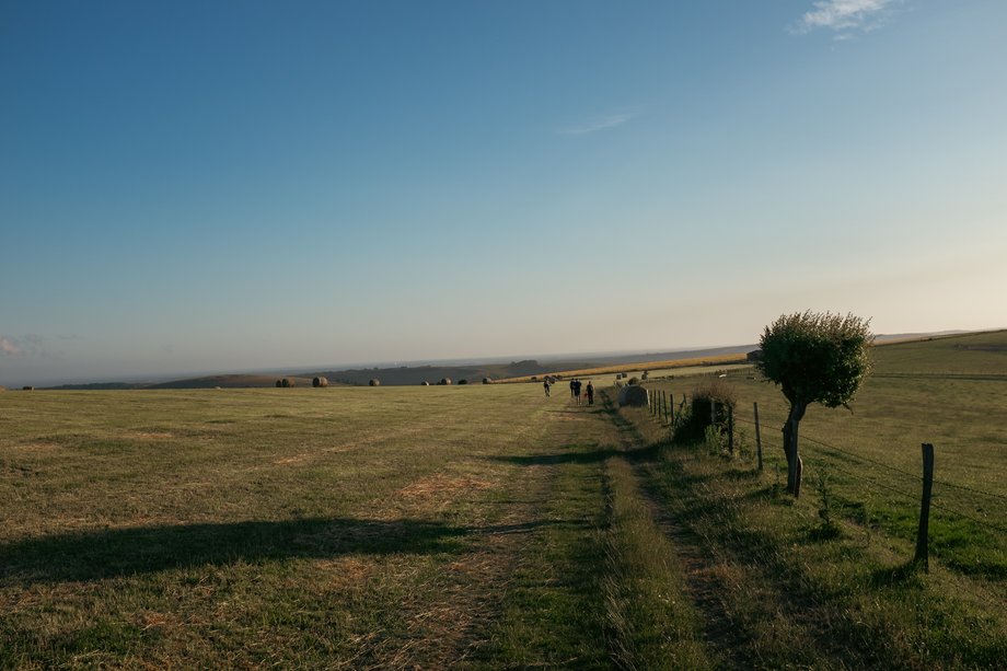
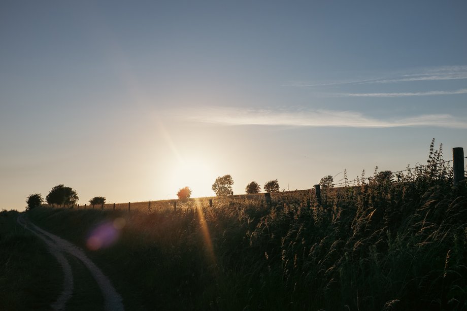
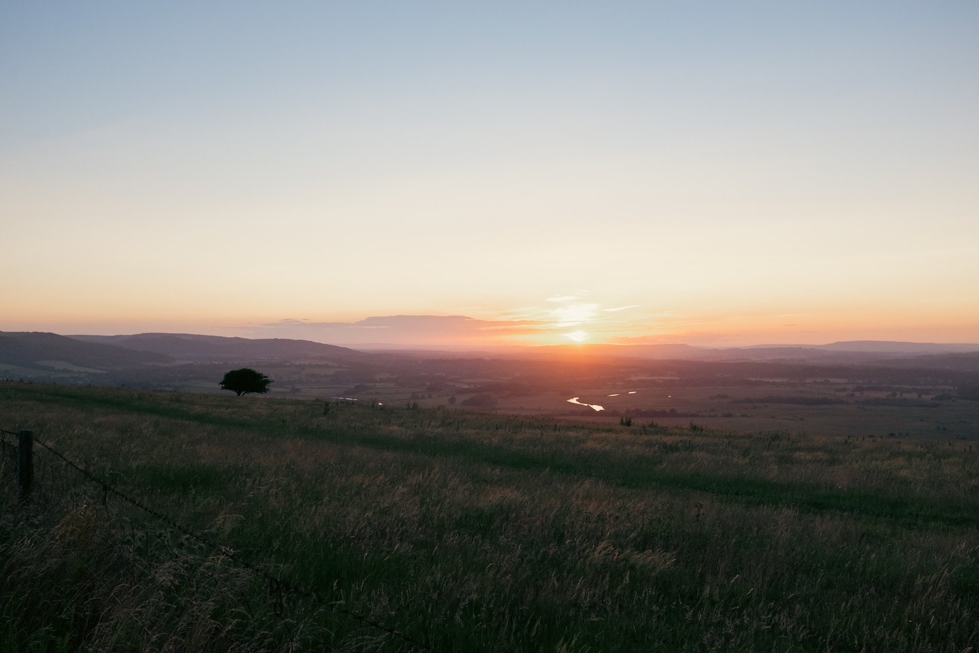
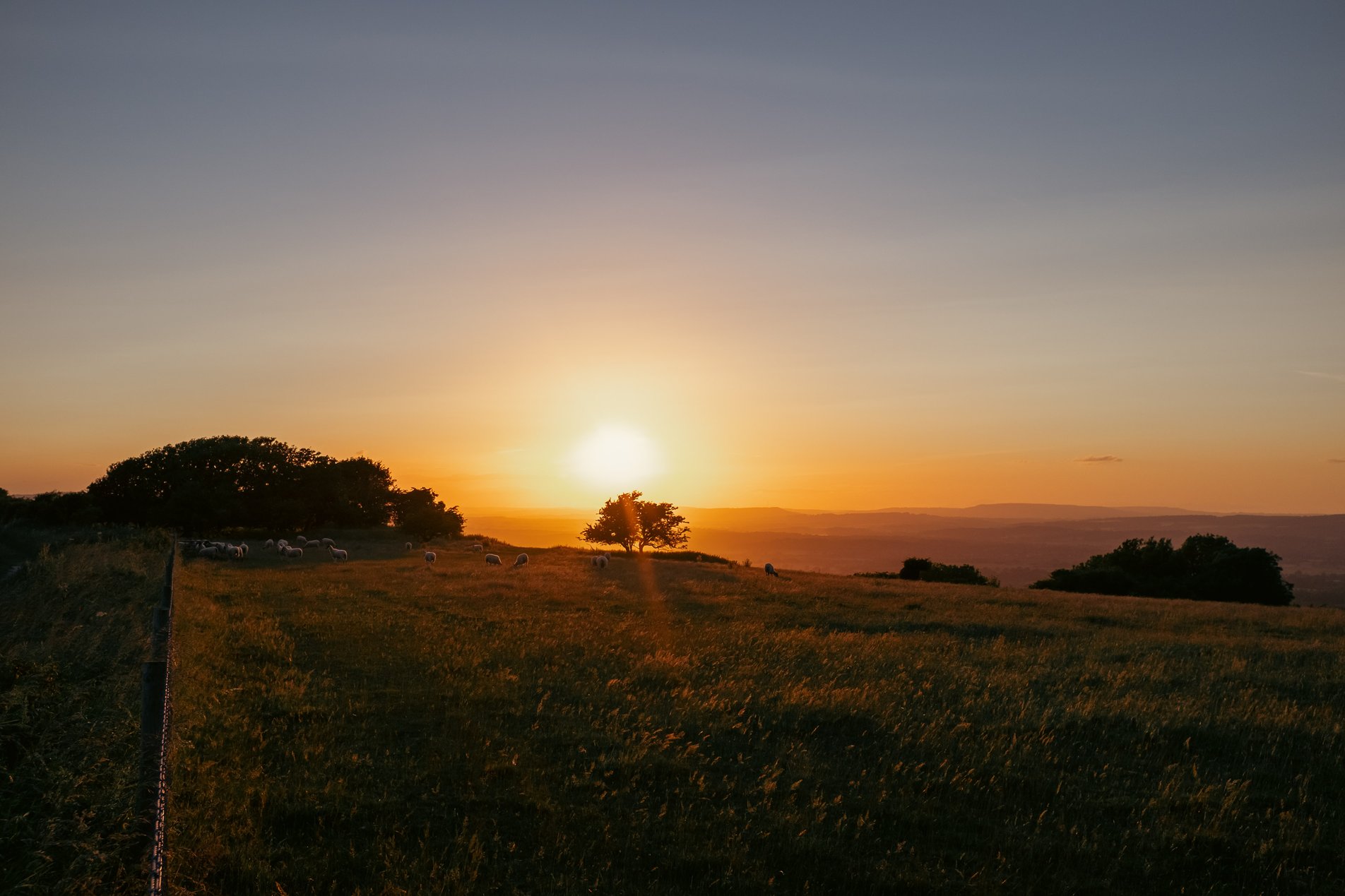
South Downs Way, West Sussex, England

50.7KM

/

31.5MILES

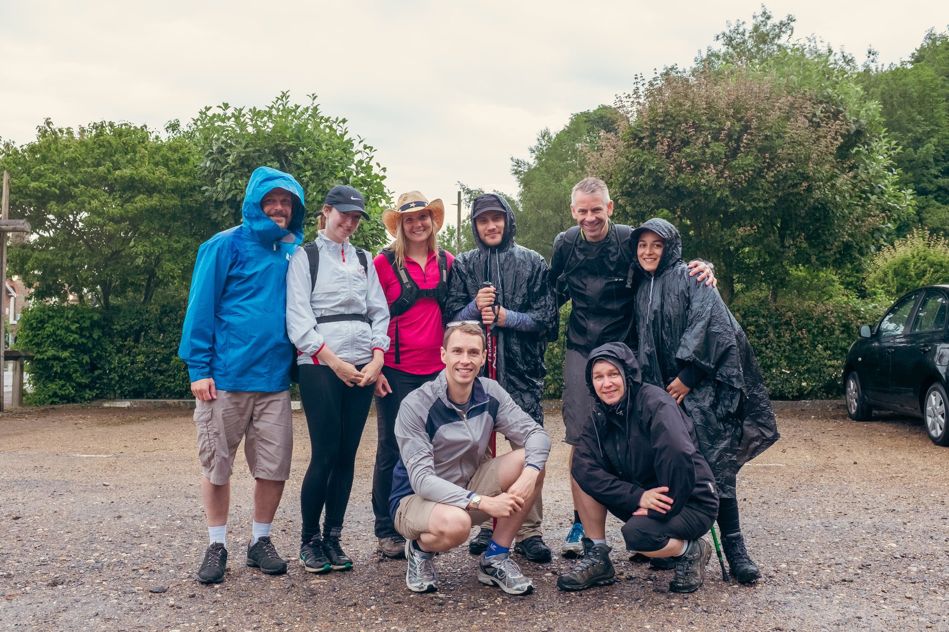
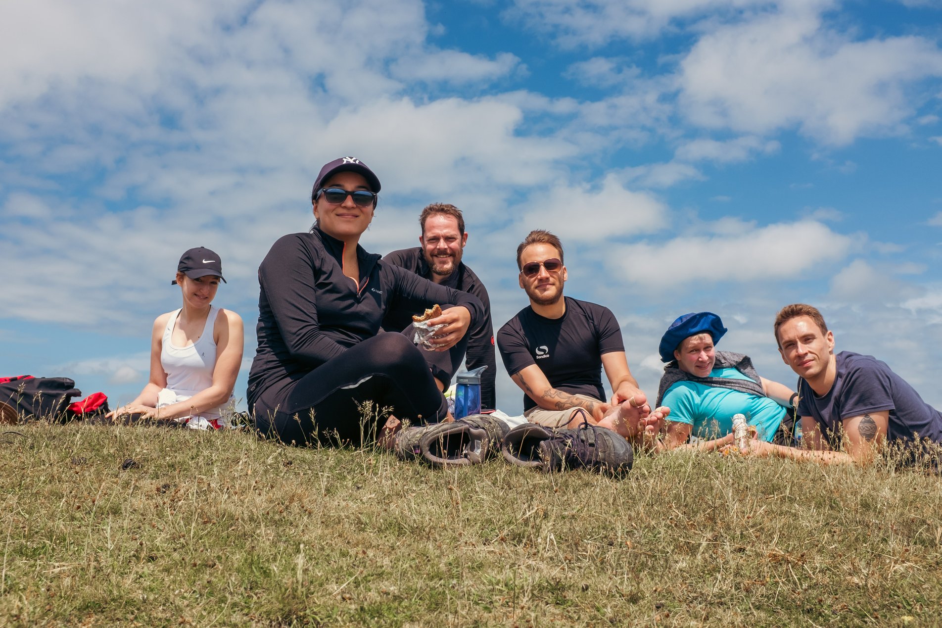
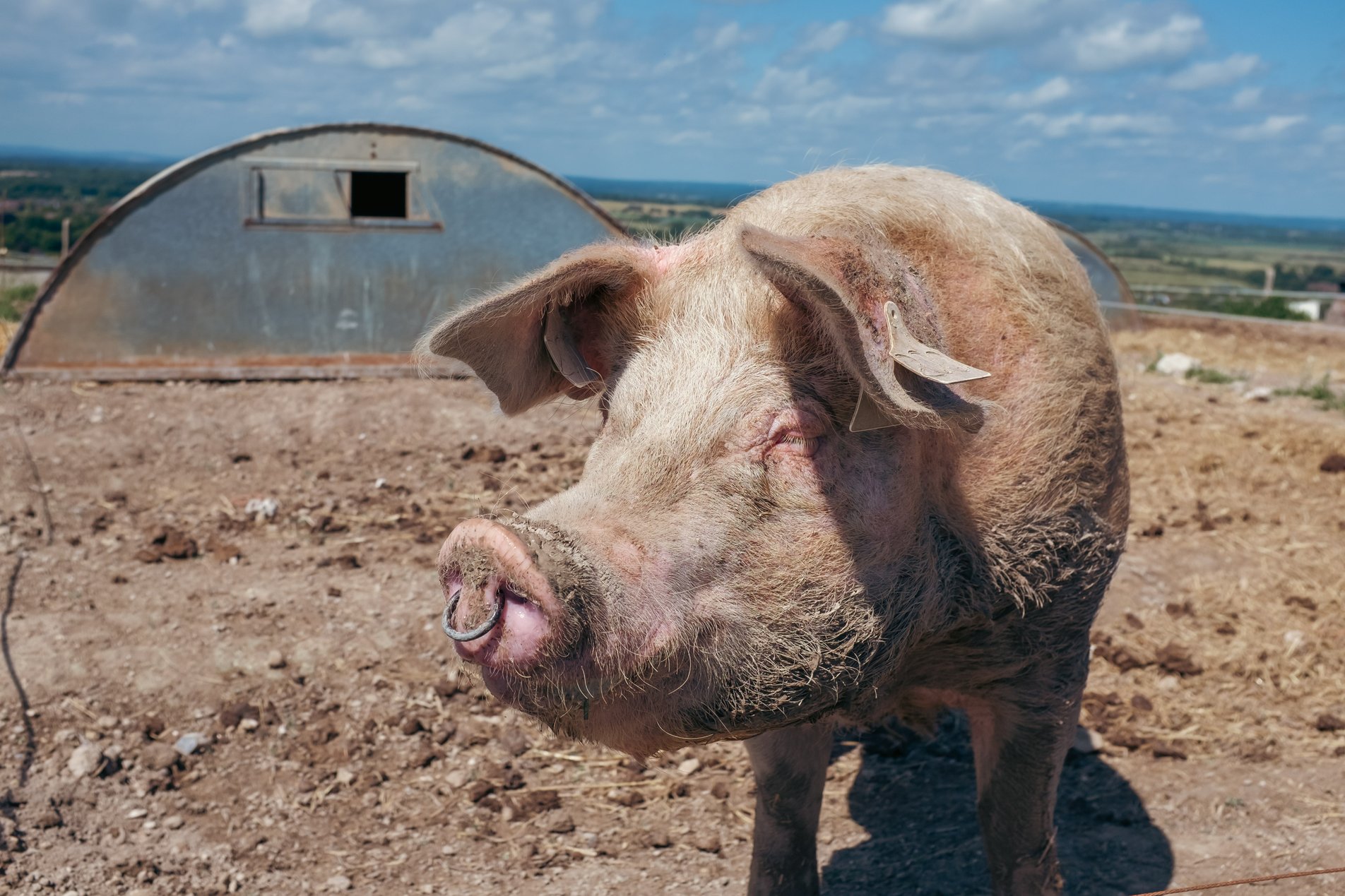
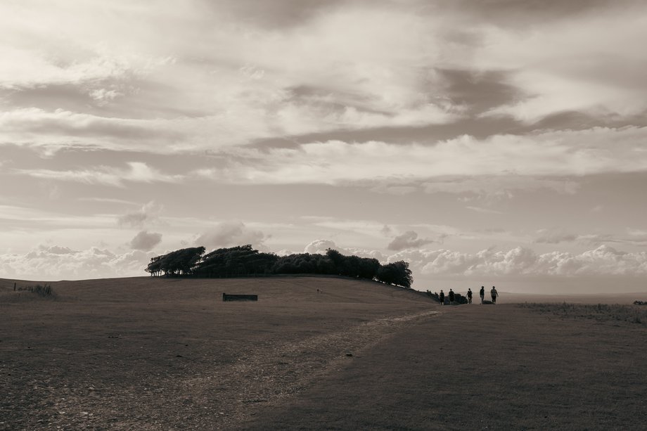
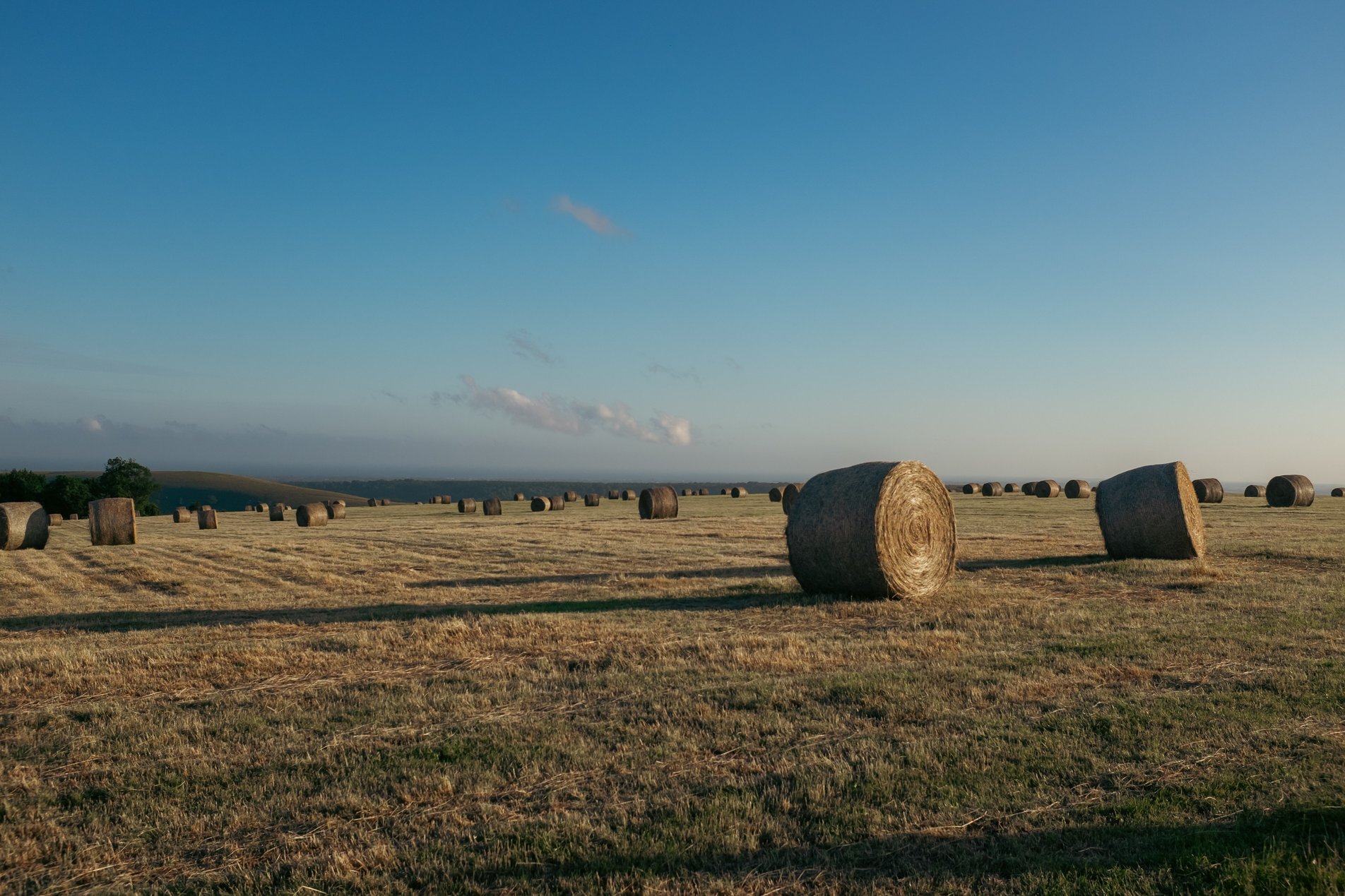
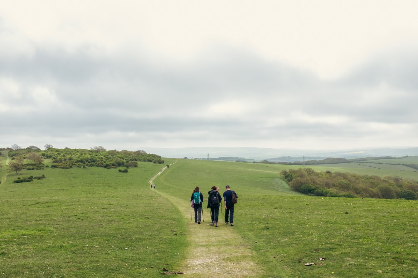
This gruelling 50km / 12 hour hike along the South Downs Way (from Amberley to Upper Beeding and back) was our final training walk for the upcoming Gurkha Trailwalker Challenge which we undertook in 2015.

5 Jul 2015
Hilly
12hrs, 35min (10hrs, 0min)
altitude Graph for south downs way walk

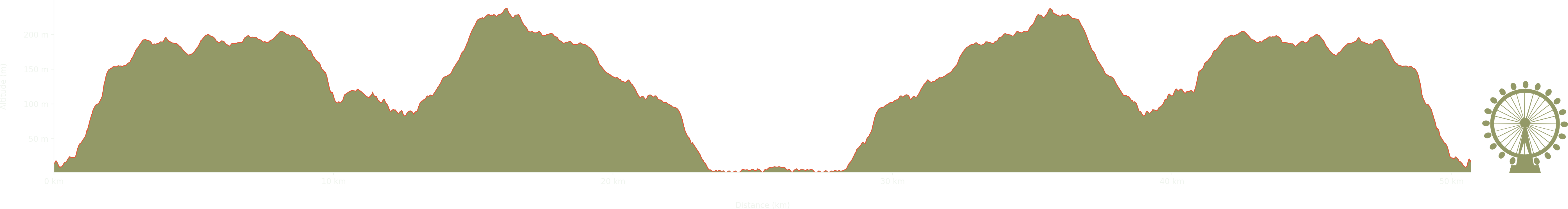
Elevation: Max 238m, Min 1m, Gain 237m

Pictures from the walk

team shot of hikers in car park

9am at the start (yes, it was raining)

group of hikers eating lunch

Lunch stop at Chanctonbury Ring Fort

group of hikers eating lunch

Crossing the Monach's Way

group of hikers on footpath

On Annington Hill

pig in field

Friendly pigs

hillside landscape

Annington Hill (on the return)

south downs landscape

North Farm

sign reading 'warning! skateborders!'

Warning! Skateboarders! At Windlesham House School

hay bales in the evening light

8pm on Barnsfarm Hill

footpath along field edge at dusk

The South Downs Way

sun setting over field fence

Kitchurst Hill

view over the south downs

View over the South Downs

sheep grazing in field at sunset

Sunset on Springhead Hill

group shot of walkers around red telephone box at night

The finish back at Amberley, at 9.50pm!

Some walks nearby

walkers on ditchling beacon
Jack and Jill

Starting at the Jack and Jill Windmills near Clayton, this was one of our early training walks for the 2015 Gurkha Trailwalker Challenge. The route follows the South Downs Way from the …

footpath above the Seven Sisters, birling gap
Beachy Head

This was the second of our longer training walks for the 2015 Gurkha Trailwalker Challenge. A beautiful loop from the outskirts of Eastbourne through East Dean and the Friston Forest returning along …

None
Eastbourne to Seaford

The second day of our walk with Claire's Great British Walk took us along the coastal path from Eastbourne to Seaford via the Birling Gap. We battled through this walk against the …