production

Stanton Drew 2016

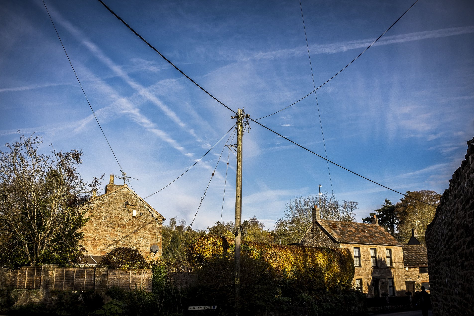
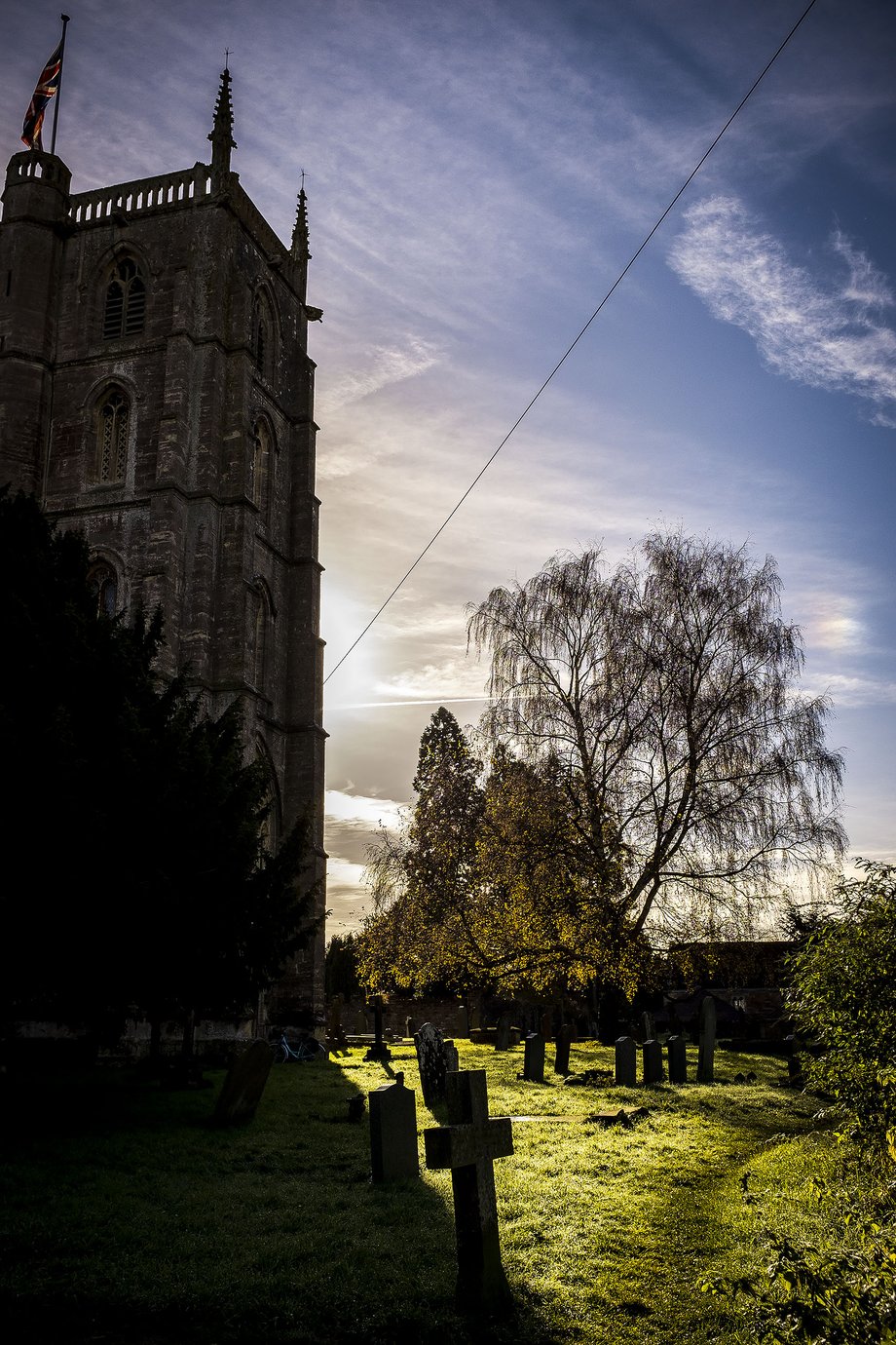
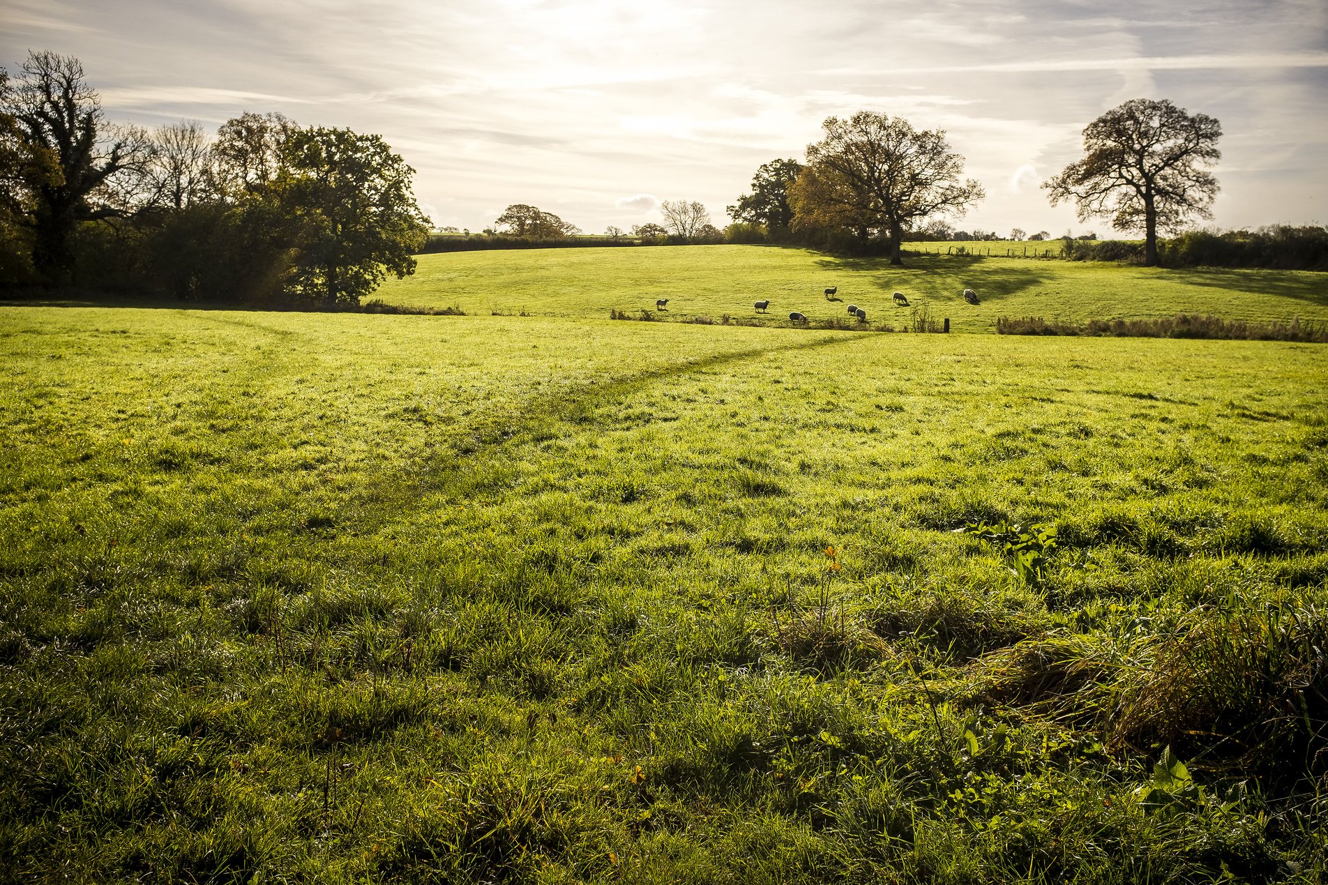
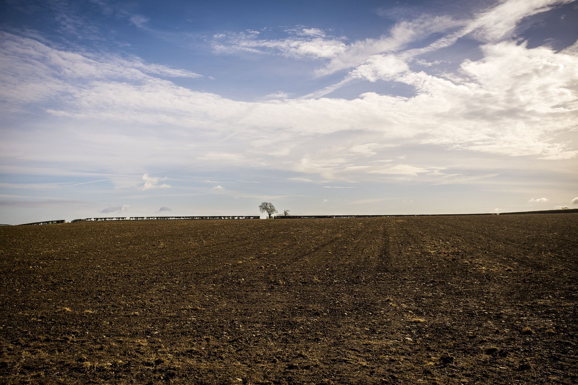
Stanton Drew 2016, Bath and North East Somerset, England

11.22 KM

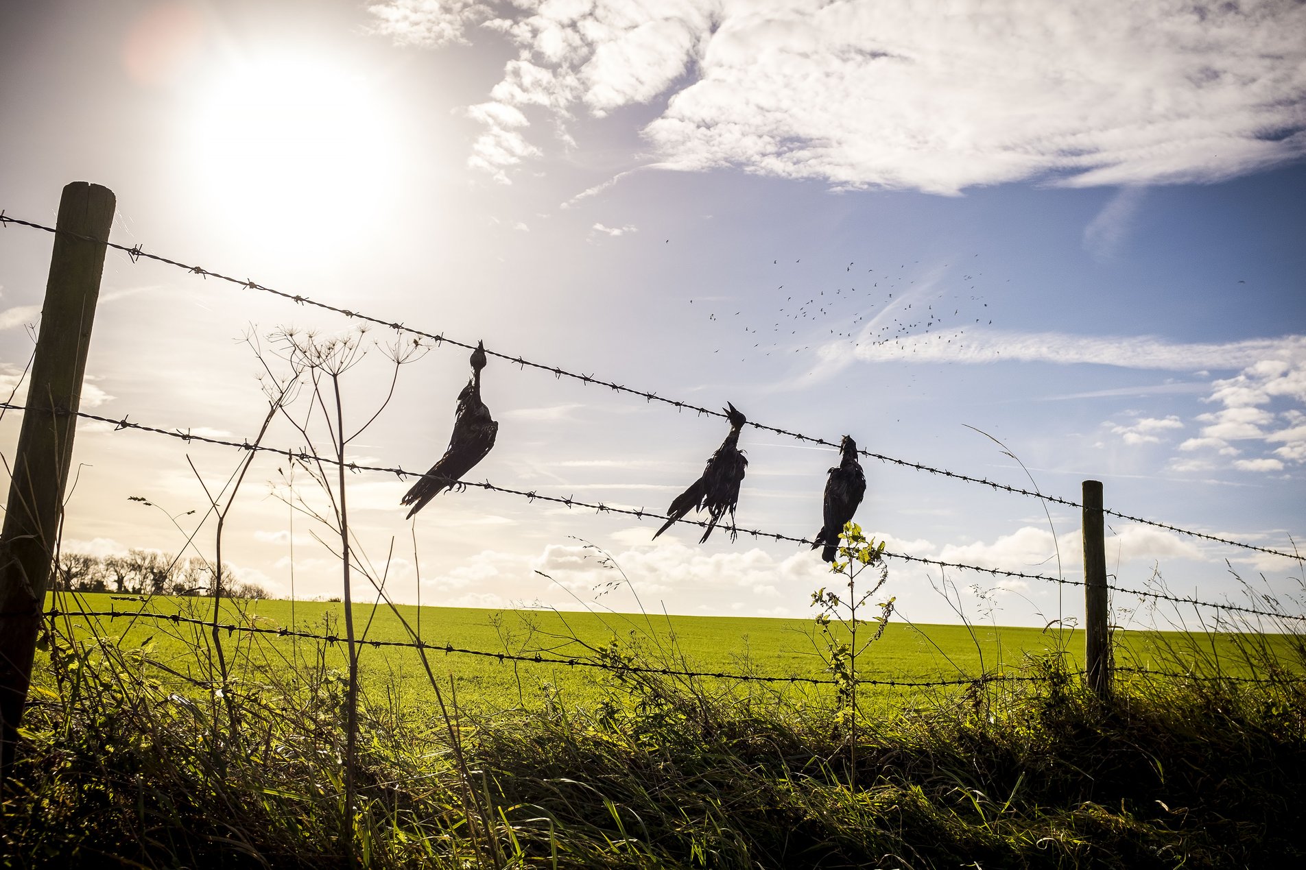
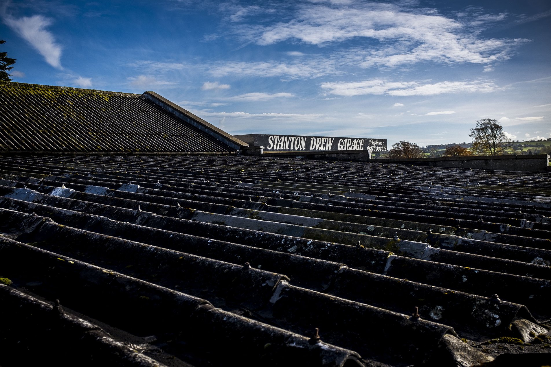
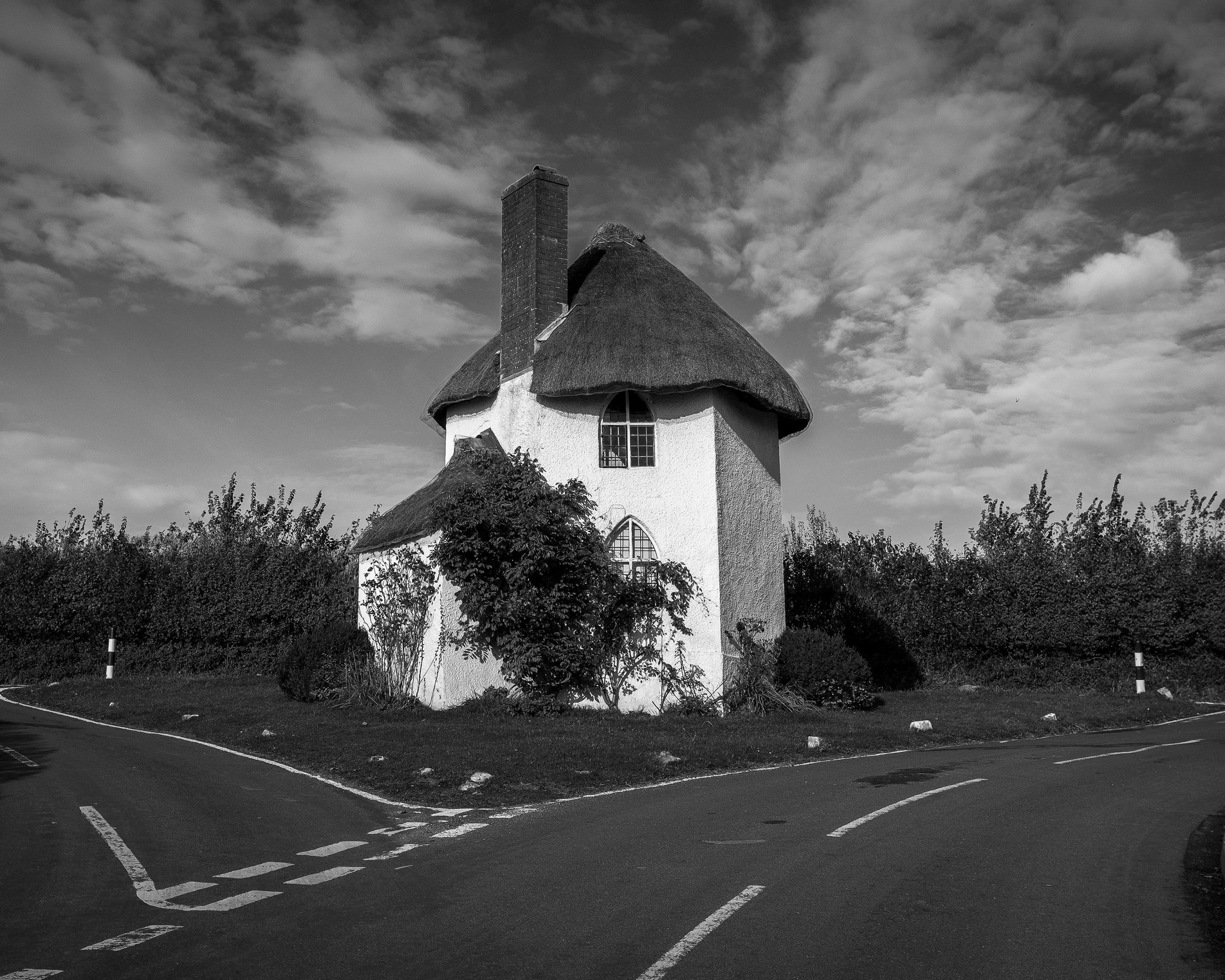
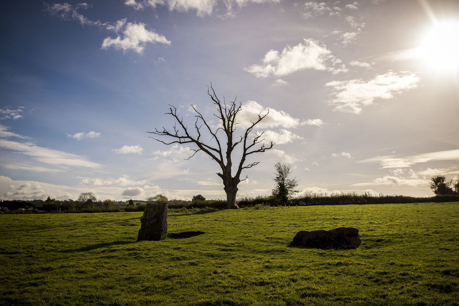
A walk around North Wick and Stanton Drew from Chew Magna in the Mendip Hills. The route takes in the Stanton Drew Stone Circles and The Round House.

13 Nov 2016
Flat
3hrs, 50min (2hrs, 42min)
altitude Graph for stanton drew 2016 walk

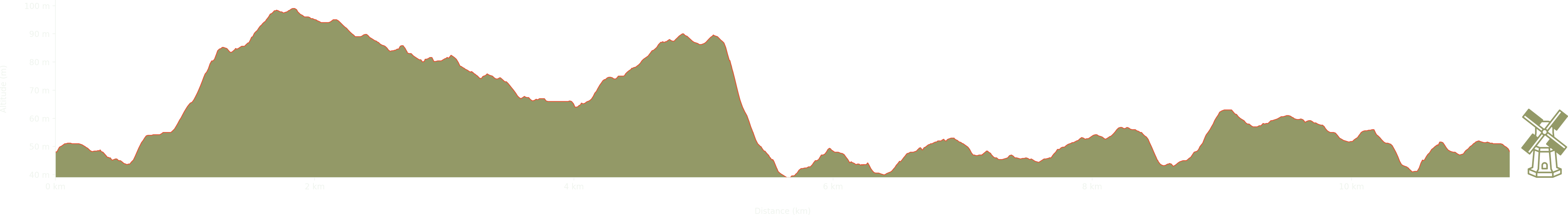
Elevation: Max 99m, Min 39m, Gain 60m

Pictures from the walk

rural village street

Streamleaze

church with union flag

St Andrew's Church, Chew Magna

path across fields with sheep

North Wick

ploughed field with straight hedgerow

Big sky

dead crows on a fence

Dead crows on a fence

rooftop with stanton view garage sign

Stanton Drew Garage

small white thatched cottage on road island

The Round House, Stanton Drew

stanton drew stone circles

Stanton Drew stone circles

calves eating hay

Calves

track with two national speed limit signs

National Speed Limit Applies

stone toadstool

Toadstool

Some walks nearby

stack of wrapped hay bales alongside barn
Stanton Drew

We undertook this walk on a beautifully crisp December day in 2020. The low sunlight was fantastic, making the landscape look stunning, though the walk itself was pretty boggy. Not entirely unexpected …

view of bristol city from distance
Dundry

A circuit from Dundry to Maes Knoll and back via Norton Malreward. This walk from the first Beyond Bristol book has some great views over the city in the first half - …

tree growing over bench
Harptree

A January wander around East Harptree, West Harptree, North Widcombe and South Widcombe. All points of the compass are covered by this Somerset loop!